The DJI Mavic 3 Multispectral firmware update is finally here, and it brings a host of new features and optimizations. If you are a drone pilot in Belgium, this guide is specially designed for you. We’ll detail all the improvements this update brings, from image quality to remote control features. Camera Improvements and Applications in […]
Professional Drone Blog
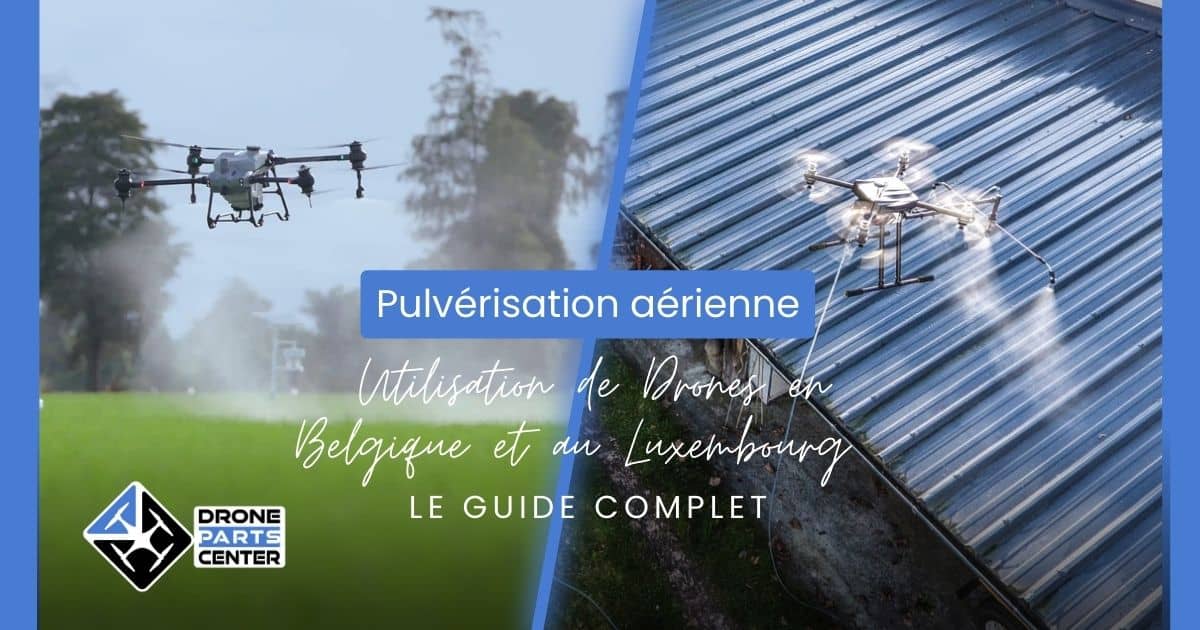
The use of drones for aerial spraying as part of building cleaning or agricultural spraying has become a common practice in many countries. However, regulations vary from country to country. In this article, we will explore in detail the regulations applicable in Belgium and Luxembourg for aerial spraying. Regulations applicable in Belgium 1. UAS (Unmanned […]
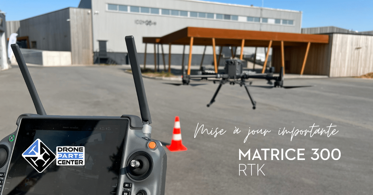
Here is a step-by-step guide on how to perform an offline update on DJI Assistant 2, on your DJI M300 RTK drone. This is an important process that can help you get the most out of your equipment. Here’s how to do it: A small note to finish: when using the M300 RTK + RC […]
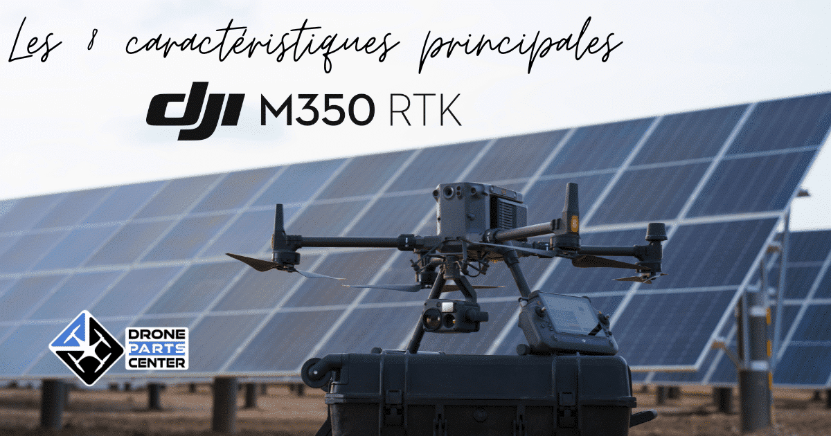
End-of-Life Product (EOL) — The DJI Matrice 350 RTK is no longer manufactured by DJI. Its successor for inspection is the Matrice 400. Read our complete Matrice 400 vs Matrice 350 RTK guide. If you’re a commercial drone pilot looking for a rugged, reliable, and versatile drone, the DJI Matrice 350 RTK (M350 RTK) is […]
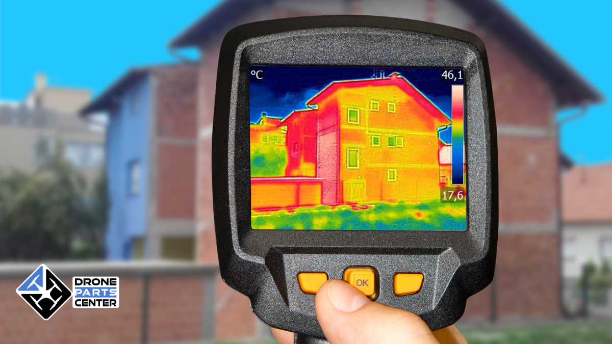
Aerial thermography by drone today represents a real revolution in the field of thermal inspection and diagnosis. This cutting-edge technology combines the exceptional mobility of drones with the precision of infrared thermal cameras, providing professionals with inspection solutions that are unmatched in terms of speed, safety, and economic efficiency. In a context where energy efficiency […]
The DJI Inspire 3 is a C3-certified drone, meeting specific requirements for use in the European Economic Area (EEA). These restrictions are related to UAS class C3, sound power level, maximum propeller speed, maximum dimensions and maximum take-off weight (MTOM) declaration. Standards To meet MTOM C3 requirements, it is important not to add additional payload, […]
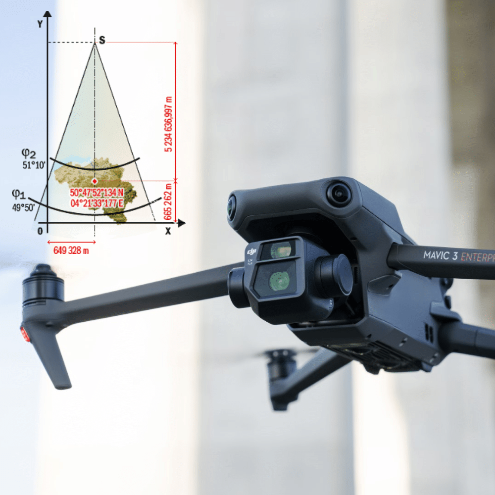
Drones, or unmanned aerial vehicles (UAVs), are increasingly being used by surveyors to collect topographic data faster, safer and more efficiently. UAVs can be equipped with cameras, laser scanners and other sensors to collect precise data on the earth’s features, including landforms, altitudes and distances. The Lambert 1972 system is a map projection system widely […]