
 Français
 Nederlands
 Deutsch
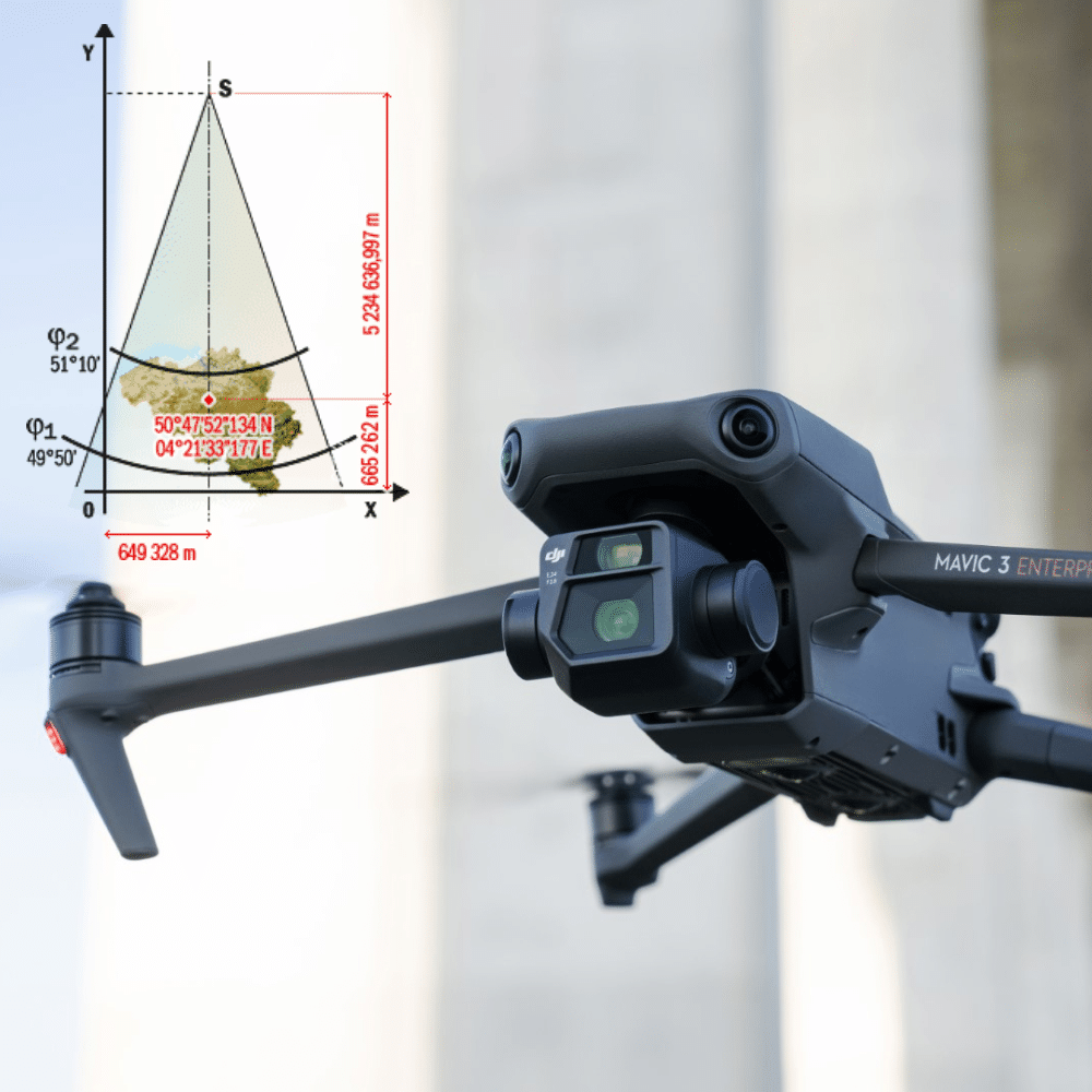
24
Mar
Mar
Drones, or unmanned aerial vehicles (UAVs), are increasingly being used by surveyors to collect topographic data faster, safer and more efficiently. UAVs can be equipped with cameras, laser scanners and other sensors to collect precise data on the earth’s features, including landforms, altitudes and distances. The Lambert 1972 system is a map projection system widely […]