
 Français
 Nederlands
 Deutsch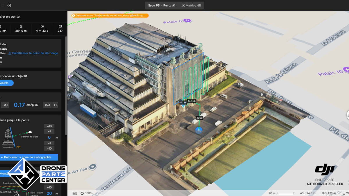
30
Jun
Jun
Four DJI flight methods tested on inaccessible bronze statues at 50 metres: the Geometry Route achieves a georeferencing RMSE of 0.012 m with 100% RTK Fix, using 3.7 times fewer images than Smart3D.
Four DJI flight methods tested on inaccessible bronze statues at 50 metres: the Geometry Route achieves a georeferencing RMSE of 0.012 m with 100% RTK Fix, using 3.7 times fewer images than Smart3D.
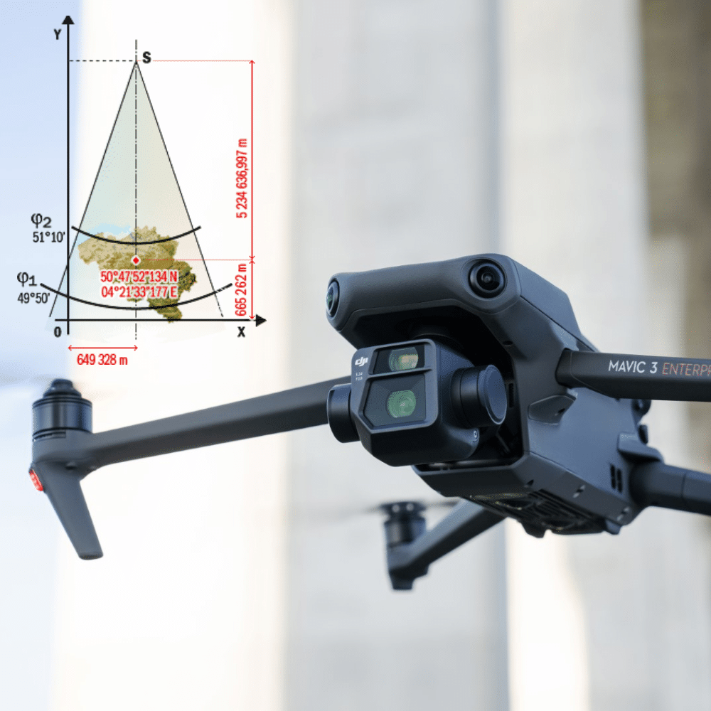
Article published in 2023. The DJI Terra interface may have evolved since this tutorial was written. Drones, or unmanned aerial vehicles (UAVs), are increasingly being used by surveyors to collect topographic data faster, safer and more efficiently. UAVs can be equipped with cameras, laser scanners and other sensors to collect precise data on the earth’s […]