
 Français
 Nederlands
 Deutsch
News, Tutorials & Updates
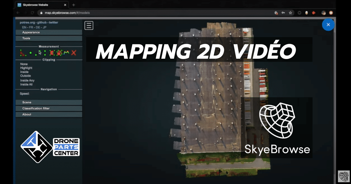
Convert your drone videos into 2D maps with free SkyBrowse software
Dec
SkyBrowse, a specialist in one-click reality capture, recently launched a free software for quick 2D aerial mapping. This innovative service allows you to generate 2D maps from drone videos in just a few minutes, a major breakthrough in the field of drone mapping.
SkyBrowse Innovation in Aerial Mapping
SkyBrowse, already recognized for its innovations in the public safety sector, has more than 300 organizations in the United States that use its platform to create 3D models from DJI or Autel drone videos. However, what’s new is the use of its proprietary videogrammetry technology to help users generate 2D maps for free from any drone video.
Simplify 2D Mapping
According to Bobby Ouyang, founder of SkyBrowse, getting a quality 2D map has always been a complex and expensive process, requiring expensive subscription services and a steep learning curve related to complex software. It could take hours or even days to generate the map itself. Thus, high-level aerial mapping analysis was for a long time restricted to well-funded and technologically equipped players.
SkyBrowse Free Software Breaks Barriers
“SkyBrowse’s new software breaks down these barriers, providing a free and simplified alternative,” says Bobby. This service aims for inclusivity, allowing small entrepreneurs, hobbyists, NGOs and educators to benefit from the same advanced aerial data analytics that were exclusive to industry heavyweights.
How to Convert Your Drone Video to a 2D Map
To turn your drone video into a 2D map, follow these simple steps:
- Visit https://lab.skyebrowse.com/
- Enter your email address and upload your video.
- Accept the terms and submit your video for processing.
Your video will be processed in just a few minutes, and you’ll receive an email with a link to your 2D card.
SkyeBrowse recommends using 1080p WideBrowse videos to optimize performance with its free 2D mapping software. These videos can be obtained via the SkyeBrowse flight app, available on the Apple App Store and Google Play Store.
The scope of this innovation
This innovation represents a significant turning point in the world of drone mapping. It paves the way for increased accessibility and new possibilities for various users. Whether you’re a professional looking to integrate 2D maps into your projects, or an enthusiast exploring your drone’s capabilities, SkyBrowse’s free software is a valuable tool to check out.
In summary, the ability to convert drone videos into 2D maps with ease and cost through SkyBrowse marks a notable evolution in the field of aerial mapping and data analysis. This technology opens doors to a multitude of applications, from project management to education and research, democratizing access to advanced technology previously reserved for a technological elite.