


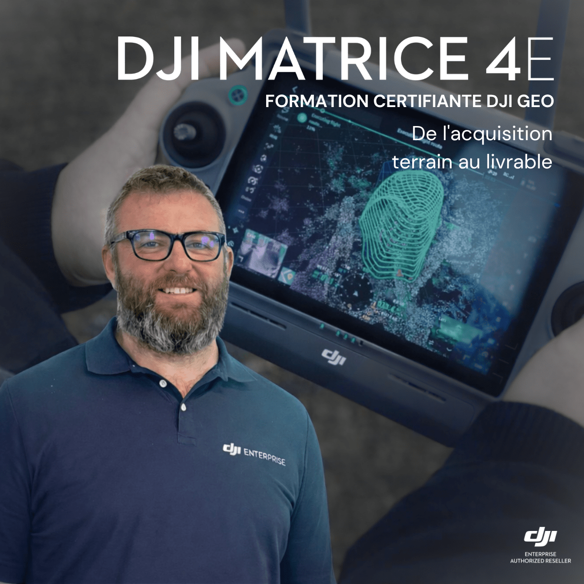
DJI GEO Certified Training: Matrice 4E
€ 2.081,65

Official DJI GEO certified training dedicated to the Matrice 4E, delivered by Stéphane Tilmant, the first DJI GEO certified trainer in the Benelux.
Full program: advanced photogrammetry, field acquisition and deliverable processing, up to the official DJI certificate.
Training accessible without purchasing additional equipment.
In stock
DJI GEO Certified Training Matrice 4E, the first certified center in the Benelux
Drone Parts Center is the first certified center to deliver the official DJI Advanced GEO Products Training Services program in the Benelux. This program is designed by DJI Enterprise and delivered exclusively by certified resellers.
The Matrice 4E training is led by Stéphane Tilmant, the first DJI GEO certified trainer in the Benelux. He supervises trainees, conducts the assessments and issues DJI certificates to candidates who pass.
Looking for other sessions? Check out our Training category.
Why take this training
Flying a Matrice 4E and unlocking its full photogrammetry potential are two different things. Many operators master the flight but get stuck on mission planning, data quality control or deliverable processing.
The DJI GEO program covers this entire chain, from the fundamentals to the complete management of a photogrammetry project.
What you gain from it
- Unlock the full potential of the Matrice 4E for precision photogrammetry.
- Take on more complex missions: corridor, area, smart oblique, close-range.
- Structure a complete workflow, from field acquisition to the GIS deliverable.
- Stay up to date with product developments through continuous access to the DJI portal.
The 6-step journey
The program follows the same journey for all DJI GEO certified resellers in Europe.
- Registration request with Drone Parts Center, authorized DJI Enterprise reseller certified for GEO.
- Online self-paced training on the DJI portal: geodesy, photogrammetry, Matrice 4E, D-RTK 3, DJI Terra and DJI Modify.
- One day of intensive in-person training, combining fieldwork and data processing.
- Practical assessment (field and office) and a theoretical exam.
- Issuance of the official DJI certificate upon success.
- Continuing education: 5 years of portal access, with content kept in sync with product updates.
Detailed program
Photogrammetry fundamentals
- Photogrammetry principles applied to drone mapping.
- Optimizing Matrice 4E settings.
- Planning Smart 3D Capture missions.
Field acquisition
- Corridor, area and smart oblique missions.
- Advanced close-range and smart flight techniques.
- Deploying the D-RTK 3 base station and related surveying measurements.
Processing and deliverables
- High-precision 3D modeling with DJI Terra.
- Editing and repairing models with DJI Modify.
- Analyzing and using the data in a GIS environment.
Who this training is for
The GEO program is designed for anyone who uses, or is considering using, the Matrice 4E in a professional setting. No prior surveying background is required.
- Surveyors and topography and mapping professionals.
- Engineering firms and construction companies: site monitoring, BIM integration.
- Heritage specialists: close-range photogrammetry on buildings and historic sites.
- Transportation engineers: overlaying CAD plans onto video.
An official DJI certificate, not a remote pilot certificate
The program concludes with an official DJI certificate, issued after successfully passing the practical assessments and the theoretical exam. This certificate confirms product and professional expertise: it does not replace the remote pilot certificate, which remains mandatory to fly legally.
Once certified, you retain 5 years of access to the DJI training portal, with content updated as the Matrice 4E, DJI Terra and DJI Modify evolve.
Training accessible without purchasing equipment
Already own a Matrice 4E? You can take this training on its own, with no obligation to purchase additional equipment. The reverse is also true: the training can be taken before a purchase, to evaluate the solution under real conditions before investing. If you are preparing your first photogrammetry project, also check out our Matrice 4E product page and our M4E photogrammetry pack, or our RTK packs dedicated to surveying.
Practical information
- Location: Nivelles, or on your site (travel costs additional).
- Languages: in-person training in French or English; DJI self-learning portal in English only.
- Equipment: provided by us, or training on your own equipment.
- Price: on request
Use the Request a quote button at the top of this page to receive a proposal tailored to your team.
FAQ
What language is the training delivered in?
The in-person sessions in Nivelles are delivered in French or in English, as you prefer. The theory is completed independently on the DJI self-learning portal, which is available in English only. A good grasp of written English is therefore needed for that stage.
Do I need a surveying background to take this training?
No. The program is designed for everyone, with or without prior surveying experience.
Does this training replace the remote pilot certificate?
No. The remote pilot certificate covers legal and safe flight. The DJI GEO certificate covers professional expertise and deliverable production. The two are complementary.
How does this training differ from a typical online course?
The program is designed by DJI engineers, with in-person supervision, quality control and a final assessment. It is not a standalone e-learning module.
Is the content updated with new DJI products?
Yes. The training portal evolves with updates to the Matrice 4E, DJI Terra and DJI Modify.
Do I need to own a Matrice 4E to register?
No. The training is not tied to purchasing equipment: you can take it before investing, to evaluate the solution under real conditions (equipment provided during the session), or afterward, on your own equipment.
What do you receive at the end of the program?
An official DJI certificate, plus 5 years of access to the training portal, with content updated as products evolve.
How long does the in-person practical part last?
One day of intensive training, including fieldwork and data processing.
Can the training be organized at our site?
Yes. Sessions take place in Nivelles or at your site, with travel costs additional.
How do I register?
Contact us via a quote request. We confirm your registration, then you receive access to the self-paced training portal before the in-person session.
Related training
Already a DJI Enterprise user? Also discover our FlightHub 2 training, Level 1, or the DJI GEO Zenmuse L3 certified training, dedicated to LiDAR. Our teams also offer DJI Terra licenses and support surveyors and topographers in their drone projects.
Only logged in customers who have purchased this product may leave a review.
Complétez votre équipement
Related products

Reviews
There are no reviews yet.