
 Français
 Nederlands
 Deutsch
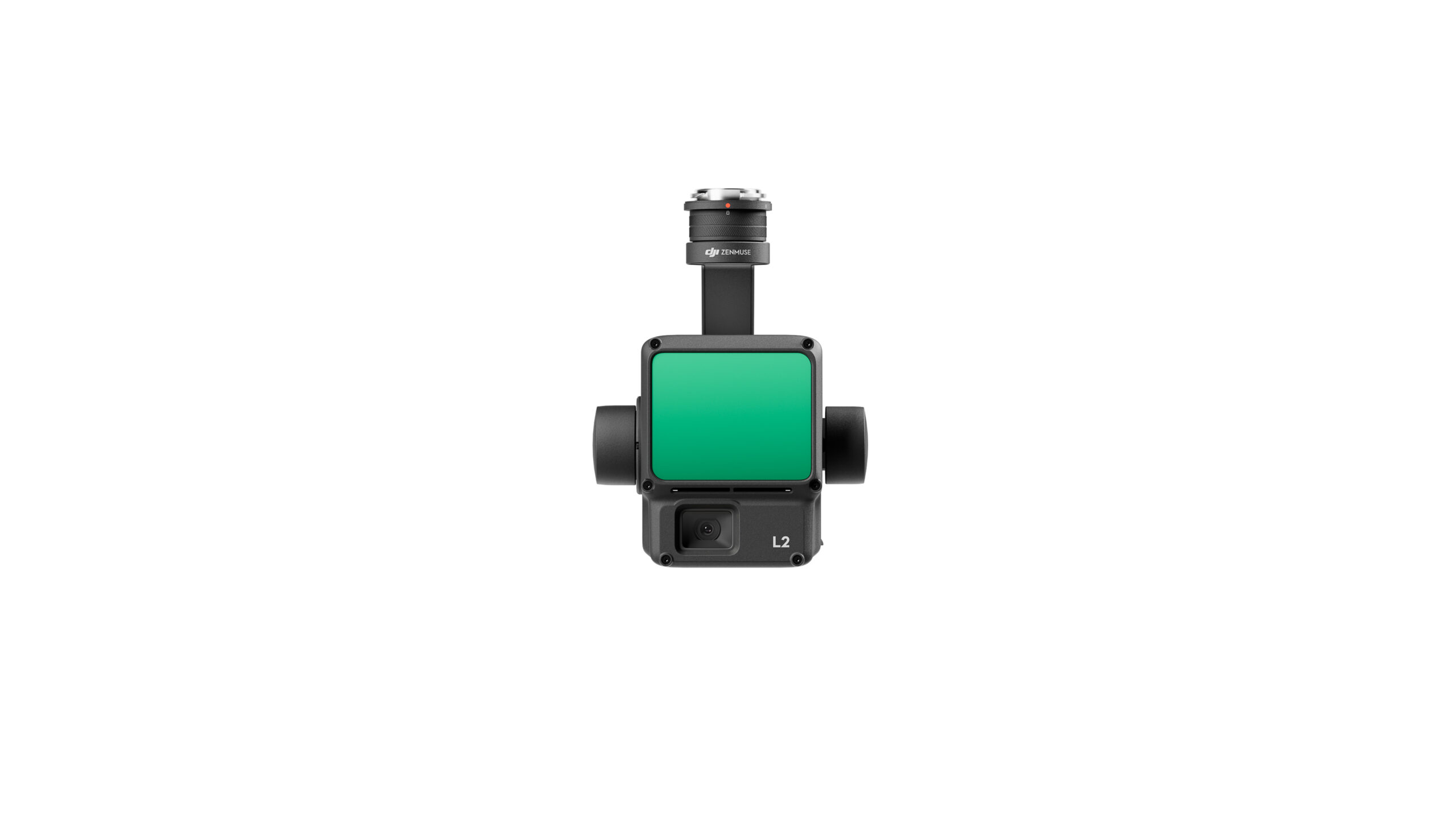
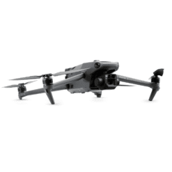
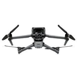
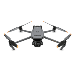
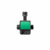
DJI Zenmuse L2
€ 13.090,00
The DJI Zenmuse L2 revolutionizes 3D mapping with its advanced LiDAR system and 4/3 CMOS camera. Compatible with Matrice 300 and 350 RTK, it offers extremely accurate scans for applications such as surveying and construction.
Available to order (please contact us)
The DJI Zenmuse L2 is a technological breakthrough in mapping and surveying. It uses the latest-generation LiDAR system to provide highly accurate 3D data. This sensor is equipped with a 4/3 RGB CMOS camera and a Livox LiDAR module, enabling sharp scans in complex environments such as forests. Thanks to the 3-axis stabilized gondola, every image is clear and precise.
What’s more, the Zenmuse L2 is distinguished by several features:
- A detection range from 3 to 150 meters.
- A measurement accuracy of 2 cm at 150 m.
- The ability to capture up to 5 signal returns for better data analysis.
- It is compatible with Matrice 300 RTK and Matrice 350 RTK UAVs.
What’s more, this sensor is ideal for many sectors, such as surveying, construction and forest management. It produces highly accurate digital elevation models (DEMs ), thanks to its high-precision IMU and integrated GNSS. As a result, Zenmuse L2 offers vertical accuracy of 4 cm and horizontal accuracy of 5 cm.
As soon as you switch it on, it’s ready for use, saving you a lot of time. What’s more, it’s compatible with DJI Terra software, making it easy to export 3D models in a variety of formats (PNTS, LAS, PLY, etc.). In short, whether for aerial photography or terrain analysis, the DJI Zenmuse L2 is a reference tool for professionals in the sector.
List of key features:
- LiDAR system with 4/3 CMOS RGB camera.
- Ready to use in seconds.
- Vertical accuracy of 4 cm and horizontal accuracy of 5 cm.
- Compatible with DJI Terra for 3D model exports.
Only logged in customers who have purchased this product may leave a review.
Related products

Drone software
Available to order (please contact us)
Building and infrastructure inspection
DJI Air 3S Pack with DJI Terra: Roofing, Measurement, and Training
Out of stock
Reviews
There are no reviews yet.