
 Nederlands
 Deutsch


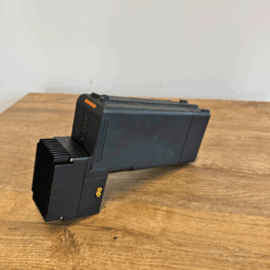
DJI Zenmuse L2 LIDAR Demo
€ 4.999,00
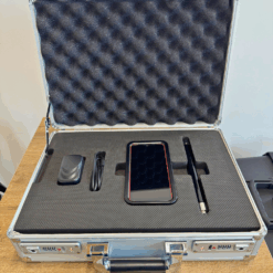
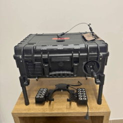
Seize a unique opportunity: a DJI Zenmuse L2 demo LiDAR sensor, in mint condition. Resulting from a DJI Care return following an incident on another device, this sensor has never been activated. It is delivered in its original transport case. An exceptional opportunity to acquire state-of-the-art technology at a great price.
Out of stock
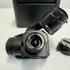
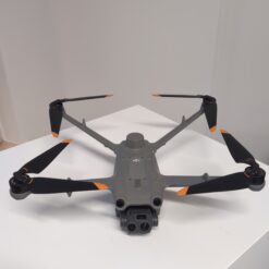
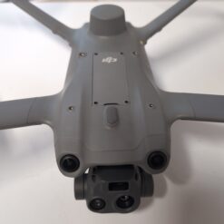
DJI Zenmuse L2: The New Dimension of LiDAR Accuracy
The DJI Zenmuse L2 represents a major breakthrough in the field of 3D data collection. As the successor to the L1, it offers increased accuracy, formidable efficiency, and rock-solid reliability for surveying, inspection, and mapping professionals. Today, we offer you a demo model in new condition, a rare opportunity to equip yourself with the best of DJI LiDAR technology.
Product Status: Full Transparency
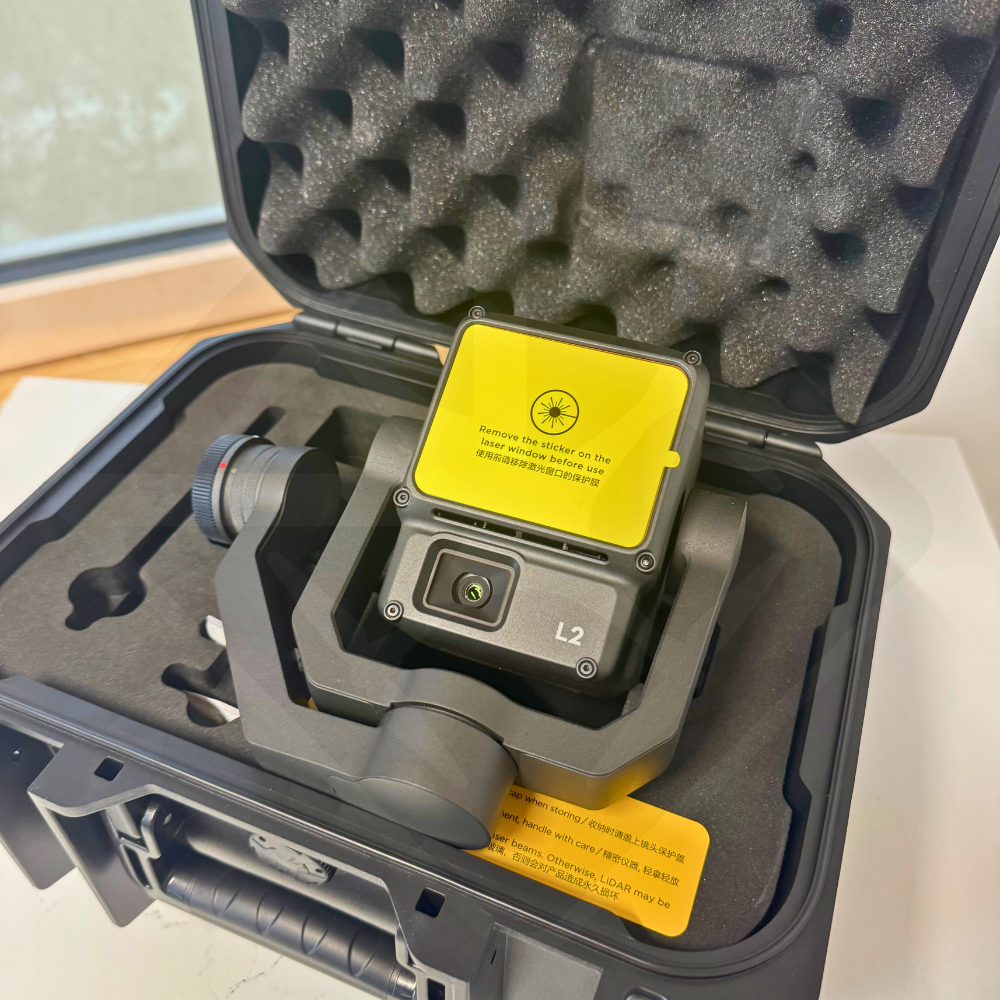
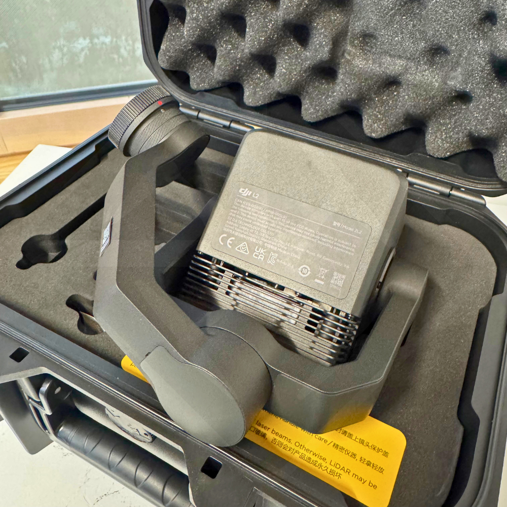
This DJI Zenmuse L2 sensor (Serial number: 6U33N65005F0GU) is a new product. It comes from an official DJI Care service return, made on December 24, 2025, following an incident that did not involve this sensor. It has never been activated and is therefore in impeccable technical and cosmetic condition. This gives you a new product with a clear and verifiable history.
Why is the Zenmuse L2 the experts’ choice?
The Zenmuse L2 isn’t just a sensor, it’s an integrated solution that turns your DJI drone into a high-precision 3D modeling tool. Here’s why it’s popular with professionals around the world:
- Unmatched Accuracy: Thanks to its high-precision IMU and RTK positioning system, the L2 achieves a vertical accuracy of 4 cm and a horizontal accuracy of 5 cm.
- Effectiveness in the field: Capable of covering up to 2.5 km² in a single flight, it significantly optimizes your operating times and costs.
- Superior plant penetration: With a smaller laser beam and multi-echo technology, it captures ground details with exceptional finesse, even under dense vegetation cover.
- Real-time visualization: The L2 allows the point cloud to be viewed live during flight, ensuring quality data acquisition from the first pass.
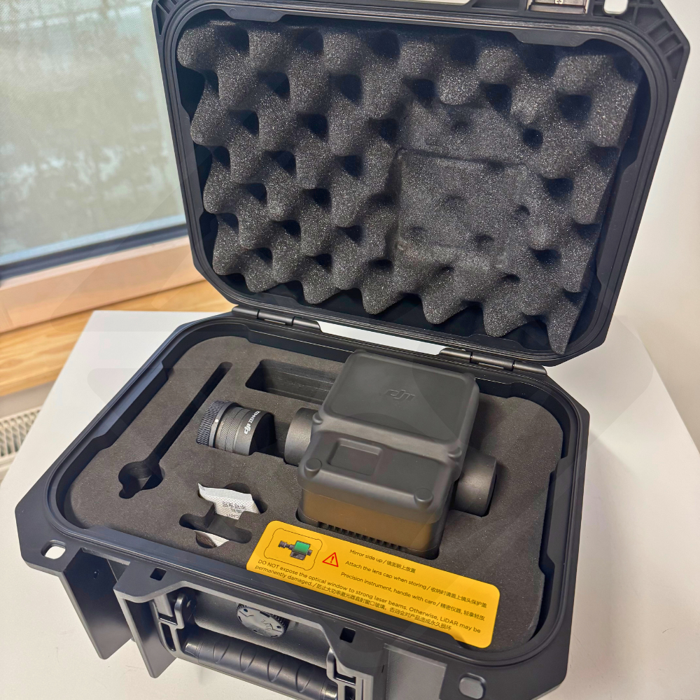
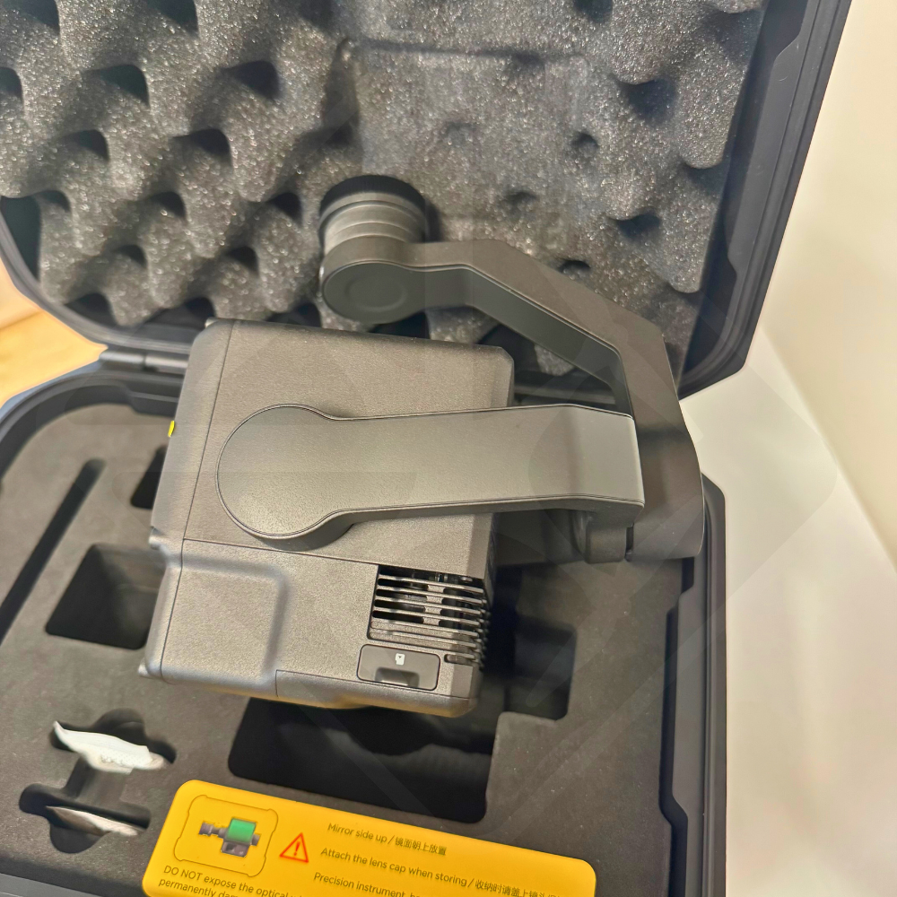
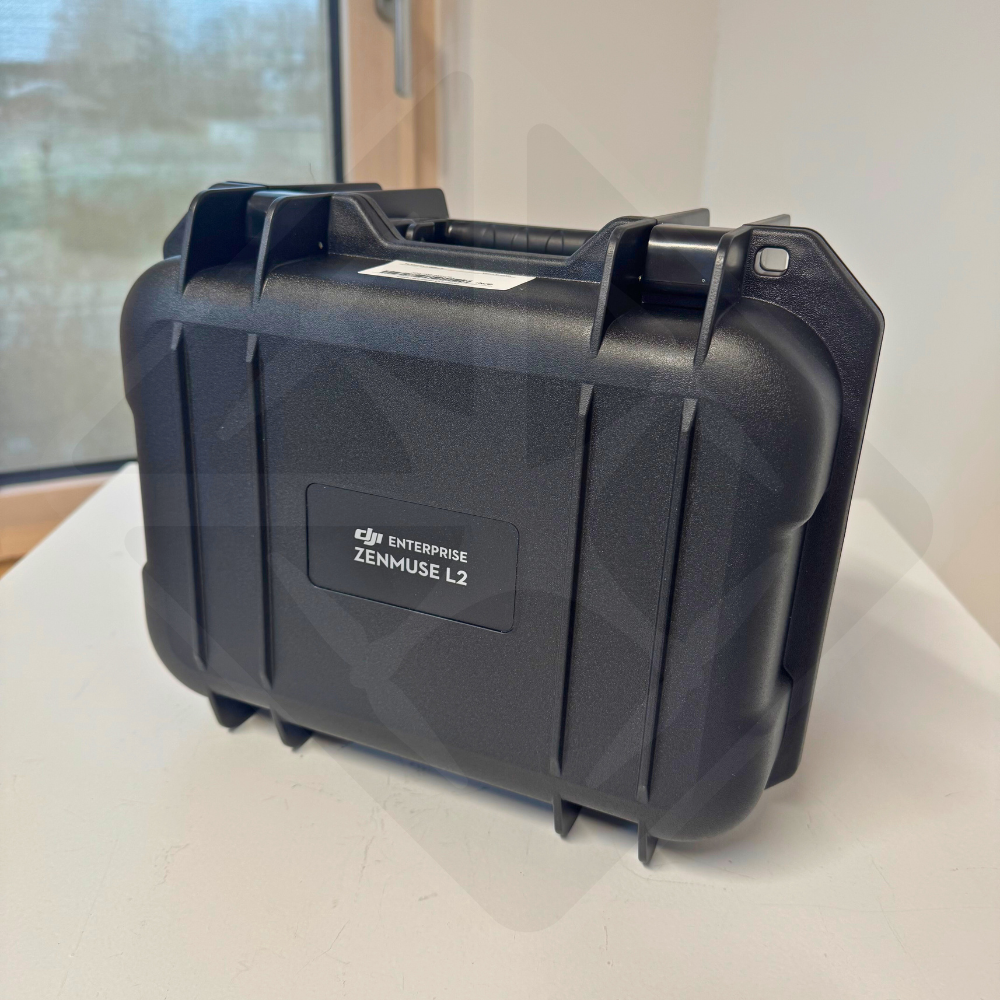
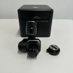
Included Accessories
- DJI Zenmuse L2
- Rigid and secure carrying case
Technical specifications
| Characteristic | Specification |
|---|---|
| Vertical | 4 cm |
| Horizontal | 5 cm |
| Detection | 250 m (at 10% reflectivity, 100 klx) / 450 m (at 50% reflectivity, 0 klx) |
| LiDAR | Single return: 240,000 pts/s; Multiple returns: 1,200,000 pts/s |
| RGB | 20 MP CMOS 4/3 sensor |
| Coverage per flight | Up to 2.5 km² |
An opportunity to be seized
This new sensor, never activated, allows you to access cutting-edge professional technology at a price that is significantly cheaper than the market. Don’t miss this opportunity to integrate the best of LiDAR technology into your fleet.
Only logged in customers who have purchased this product may leave a review.
Related products
Discontinued
1 in stock


Reviews
There are no reviews yet.