
 Français
 Nederlands
 Deutsch
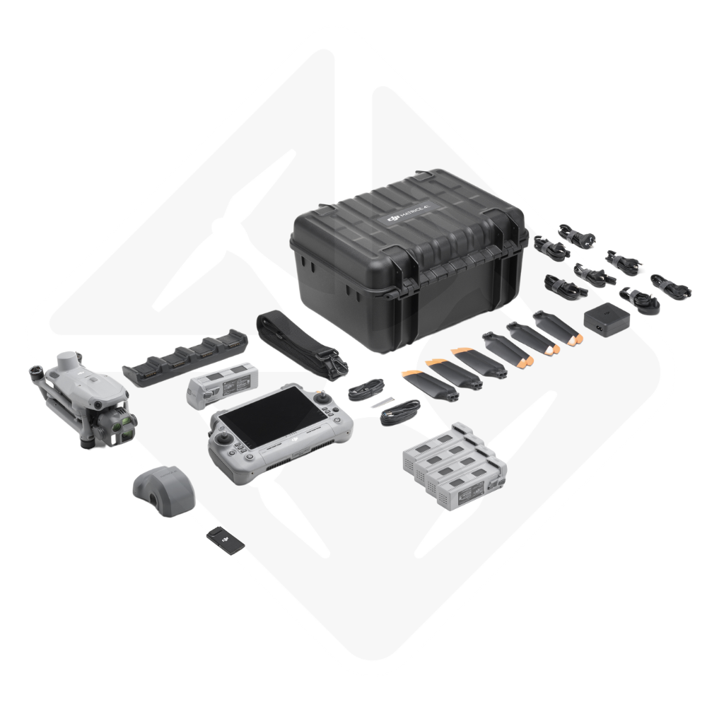
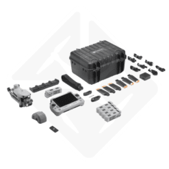

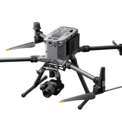
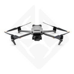
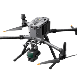
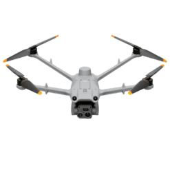
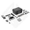
DJI Matrice 4E Photogrammetry Pack
€ 5.355,00
The DJI Matrice 4E Photogrammetry Pack includes 4 batteries and a 4G Walcors modem for precise, continuous topographical surveys.
Available to order (please contact us)
DJI Matrice 4E Photogrammetry Pack: Aerial mapping excellence
The DJI Matrice 4E Photogrammetry Pack is the ideal solution for professionals in photogrammetry, 3D modeling and aerial mapping. This professional drone combines performance and reliability thanks to its cutting-edge technologies. It is ideally suited to the construction, public safety and precision agriculture sectors.
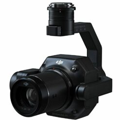
Equipped with a laser rangefinder measuring up to 1,800 meters, it provides highly accurate topographical surveys. What’s more, its 24 mm wide-angle lens with mechanical shutter captures sharp images. The Smart 3D Capture function simplifies the creation of detailed 3D models. This makes the drone ideal for projects requiring precise measurements.
A complete package for superior performance
The DJI Matrice 4E Photogrammetry Pack offers much more than just a drone. This pack comes with accessories that enhance its autonomy and connectivity:
- 4 batteries for extended missions.
- 4G modem for direct network connection Walcors.
- Smart 3D Capture to generate fast, accurate 3D models.
- Wind resistance up to 12 m/s and operation between -10°C and 40°C.
This equipment makes the DJI Matrice 4E Photogrammetry Pack suitable for the most demanding projects.
High-level technical performance
Laser rangefinder technology
The DJI Matrice 4E is equipped with a high-performance laser rangefinder. It measures distances of up to 1,800 meters with great precision. This feature is indispensable for topographical surveys and infrastructure inspections. It provides reliable data, even in difficult environments.
High-precision sensors
Its 24 mm wide-angle sensor with mechanical shutter ensures clear, detailed images. What’s more, fast shooting, with intervals of 0.5 seconds, optimizes data collection. This reduces the flight time required for photogrammetry.
4G connectivity with Walcors
The integrated 4G modem provides a direct, stable connection to the Walcors network. This connectivity ensures fast data transmission. As a result, users can access accurate information in real time, boosting productivity.
Versatile applications for all sectors
3D Cartography and Modeling
The DJI Matrice 4E Photogrammetry Pack excels in 3D mapping and modeling. Thanks to the Smart 3D Capture function, it generates detailed models quickly. This is essential when modeling complex buildings or industrial sites.
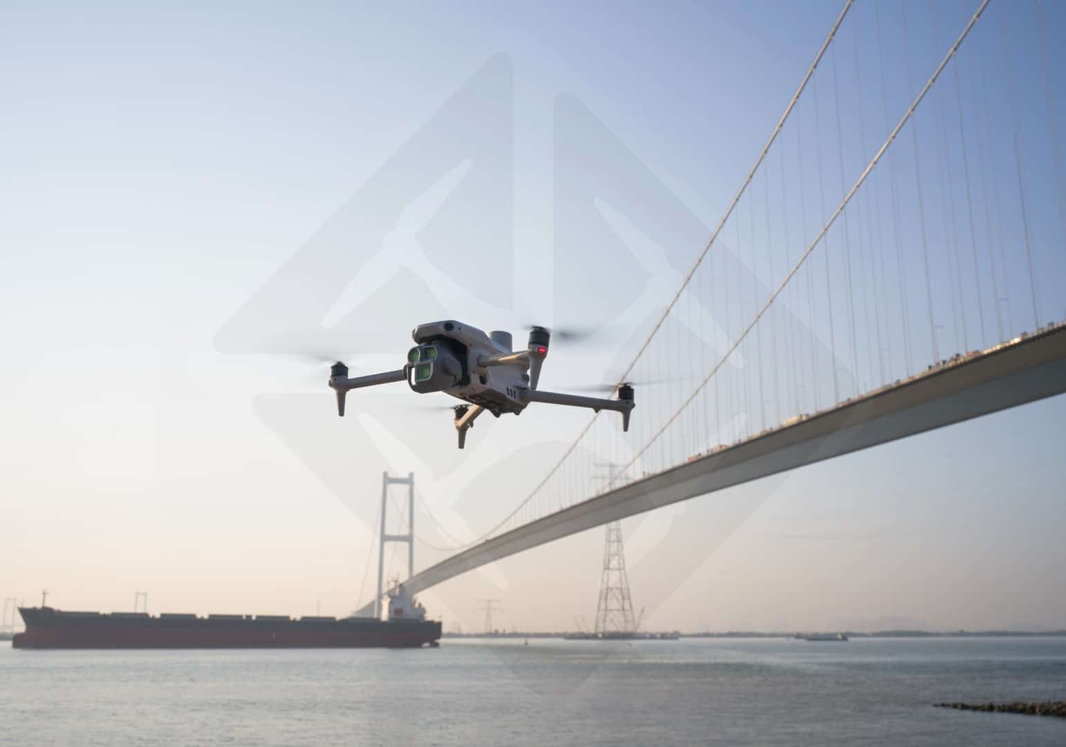
Infrastructure Inspection
This drone is perfect for inspecting sensitive structures such as bridges, power lines or pipelines. Its high-precision sensors and laser rangefinder guarantee safe and efficient inspections.
Precision Agriculture
In agriculture, this drone facilitates crop analysis. It can map fields and optimize farming operations. As a result, farmers can make more effective decisions.
Public Safety and Rescue
Public safety and rescue services benefit from its performance. Its wind resistance and extended autonomy enable surveillance and search missions in difficult conditions.
The benefits of the DJI Matrice 4E Photogrammetry Pack
- Extreme precision with laser rangefinder and high-resolution sensors.
- Extended autonomy thanks to 4 additional batteries.
- Fast connection with the 4G modem to the Walcors network.
- Wind resistance up to 12 m/s and operation from -10°C to 40°C.
- Versatility for the construction, agriculture and security sectors.
Why choose the DJI Matrice 4E Photogrammetry Pack?
When you choose the DJI Matrice 4E Photogrammetry Pack, you’re investing in a drone that combines reliability, precision and innovation. This complete package enhances the efficiency of your projects, while guaranteeing high-quality results. It is aimed at companies wishing to optimize their aerial photogrammetry operations.
Only logged in customers who have purchased this product may leave a review.
Related products
Building and infrastructure inspection
DJI Mavic 3T Enterprise Thermal Pack for roof inspection and drone measurements
Available to order (please contact us)
Building and infrastructure inspection
1 in stock (can be backordered)
Building and infrastructure inspection
1 in stock (can be backordered)
Reviews
There are no reviews yet.