24
Tue
Tue
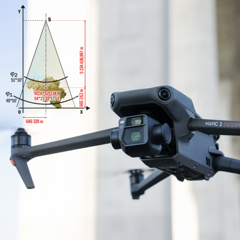
Drones, or unmanned aerial vehicles (UAVs), are increasingly being used by surveyors to collect topographic data faster, safer and more efficiently. UAVs can be equipped with cameras, laser scanners and other sensors to collect precise data on the features of [...].