Français
 Nederlands
 Deutsch
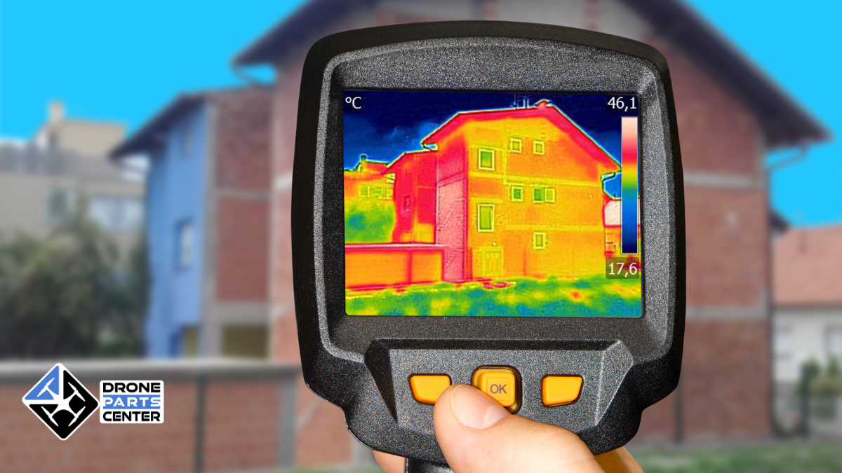
30
Apr
Apr
Aerial thermography by drone today represents a real revolution in the field of thermal inspection and diagnosis. This cutting-edge technology combines the exceptional mobility of drones with the precision of infrared thermal cameras, providing professionals with inspection solutions that are unmatched in terms of speed, safety, and economic efficiency. In a context where energy efficiency […]