
 Français
 Nederlands
 Deutsch
News
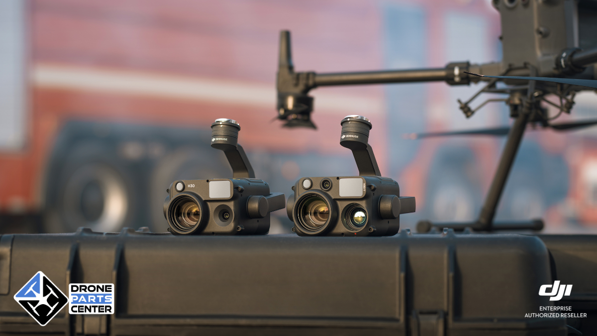
DJI Zenmuse H30T: How wide can I cover the ground with the visible or thermal camera?
Mar
H30T field of view: width covered on the ground by the visible and thermal camera
Would you like to know the Zenmuse H30T‘s field of view and the width it covers on the ground at different altitudes? This article gives you the precise answers for both the visible camera and the thermal camera, with clear tables and rigorous calculations.
Knowing this data is essential for :
- Optimizing flight paths
- Limit unnecessary overlap
- Gaining autonomy and efficiency
Here is a precise and illustrated deciphering of the actual ground coverage values for two major sensors on the Zenmuse H30T:
- wide-angle camera (visible, 48 MP)
- thermal imaging camera (640×512 or 1280×1024 resolution)
H30T field of view – Wide-angle camera
Technical specifications
- 1/1.3″ sensor, 48 MP
- Equivalent focal length: 24 mm full-frame
- Horizontal field of view (HFOV): approx. 69.6°.
Calculation formula
Width covered on ground≈1.39×flight altitude (in m)\text{Width covered on ground} ≈ 1.39 × \text{flight altitude (in m)}Width covered on ground≈1.39×flight altitude (in m)
Coverage chart – Visible camera
| Flight altitude (m) | Width covered (m) |
|---|---|
| 20 m | 27.8 m |
| 30 m | 41.7 m |
| 40 m | 55.6 m |
| 50 m | 69.5 m |
| 60 m | 83.4 m |
| 80 m | 111.2 m |
| 100 m | 139.0 m |
Recommendation: plan for a 5-10% lateral overlap to ensure continuous coverage without loss of information.
Field of view H30T – Thermal camera
Technical specifications
- Effective focal length: 24 mm
- Resolution: 640×512 or 1280×1024
- Horizontal field of view (HFOV): approx. 36.3°.
The field of view remains the same whatever the resolution (the level of detail changes, not the viewing angle).
Calculation formula
Width covered on ground≈0.655×flight altitude (in m)\text{Width covered on ground} ≈ 0.655 × \text{flight altitude (in m)}Width covered on ground≈0.655×flight altitude (in m)
Front cover – Thermal camera
| Flight altitude (m) | Width covered (m) |
|---|---|
| 20 m | 13.1 m |
| 30 m | 19.7 m |
| 40 m | 26.2 m |
| 50 m | 32.8 m |
| 60 m | 39.3 m |
| 80 m | 52.4 m |
| 100 m | 65.5 m |
At a height of 50 m, the thermal image covers a width of around 32.8 m.
In short: which camera for which mission?
| Camera type | Width covered at 50 m | Recommended use |
|---|---|---|
| Wide-angle (visible) | ~69.5 m | Visual surveillance, wide-area inspection |
| Thermal (IR) | ~32.8 m | Heat research, safety, maintenance |
Conclusion
Mastering the H30T field of view means mastering your mission. Whether you’re using the visible camera to cover large areas, or the thermal camera to detect hot spots with precision, this information allows you to :
- Define optimal path spacing
- Reduce flight times
- Obtain usable data without cropping
Need help planning a thermal or visual mission? Contact our team !