
 Français
 Nederlands
 Deutsch
-
×
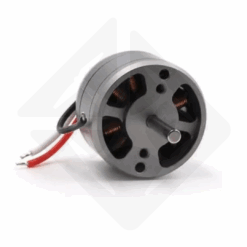 DJI Spark - 1504 Motor
 2 in stock
1 × € 14,90 -
×
DJI Spark - 1504 Motor
2 in stock
1 × € 14,90 -
×
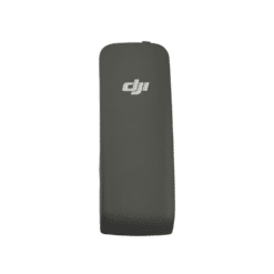 DJI Air 3 Cellular Dongle Cover
 1 in stock
1 × € 19,00 -
×
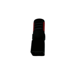 Aircraft Arm Connector (M2) DJI Matrice 300 RTK
 5 in stock
1 × € 14,00 -
×
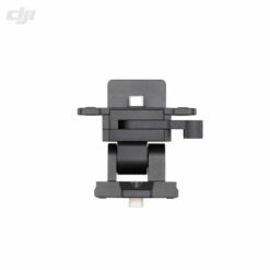 DJI Cendence - Crytalsky Monitor Mount
 1 in stock
1 × € 89,00
News, Professional applications
DJI Enterprise: Redefining Excellence in Professional Drones for Photogrammetry and Inspection
04
May
May
The professional drone industry is undergoing a rapid transformation, and at the heart of this revolution is DJI Enterprise. Recognized globally for its innovations in consumer drones, DJI has leveraged its technological expertise to create a range of aerial solutions specifically designed to meet the complex and varied requirements of businesses and organizations. From high-precision mapping missions to critical infrastructure inspection, to public safety operations, DJI Enterprise drones have become indispensable tools, constantly pushing the boundaries of efficiency, safety, and data collection. This article takes an in-depth look at the capabilities of DJI Enterprise’s flagship solutions, including the Mavic 3 Enterprise, Matrice 30, and Matrice 350 RTK series, highlighting their specific applications in the fields of photogrammetry and thermal inspection. We will analyze how this advanced drone technology allows professionals to reach new levels of performance and make informed decisions based on reliable and accurate data. Whether you’re a surveyor, inspector, safety officer, or just curious about the future of drone technology, learn how DJI Enterprise is shaping the landscape of professional flight operations.
Unmatched Accuracy: DJI Enterprise Solutions for Photogrammetry and Mapping
Photogrammetry and aerial mapping require tremendous accuracy and efficiency. DJI Enterprise addresses this need with a range of drone solutions specifically designed for high-fidelity 3D surveying and modeling. At the heart of this offering are three main configurations, each tailored to distinct needs and budgets: the compact and agile Mavic 3 Enterprise (M3E) with its RTK module, and the rugged Matrice 350 RTK (M350 RTK) platform paired with specialized Zenmuse P1 or Zenmuse L2 sensors.
The Mavic 3 Enterprise, with its RTK module, represents an ideal mid-range solution for professionals looking for a compact, quick to deploy tool capable of delivering survey-level accuracy. Its 20MP 4/3″ large format sensor, featuring a mechanical shutter (essential for eliminating distortion when capturing on the move) and a minimum shooting interval of 0.7 seconds, allows for fast and accurate data acquisition. It supports RTK and PPK technologies, achieving centimeter accuracy without the need for Ground Control Points (GCPs) for 1:500 scale surveys, saving considerable time in the field. Its flight time of up to 42 minutes maximizes productivity per mission.
For the highest demands on image quality and detail, the combination of the Matrice 350 RTK and the Zenmuse P1 full-frame camera is the state-of-the-art solution. The P1 features a 45MP full-frame sensor with large pixels (4.4μm), guaranteeing excellent image quality even in low light and a wide dynamic range. It also offers increased flexibility thanks to its interchangeable lens options (24mm, 35mm, 50mm), allowing the field of view and ground resolution (GSD) to be adapted according to the flight altitude and the specific needs of the project. Like the M3E, the P1 features a mechanical shutter and a 0.7s shooting interval, supports RTK/PPK and Smart Oblique Capture functionality for efficient 3D modeling. The M350 RTK additionally offers superior wind resistance (up to 33 mph) and a flight time of up to 44 minutes with the P1.
Finally, the Matrice 350 RTK can be equipped with the Zenmuse L2 sensor, a hybrid solution combining a LiDAR module and a 20MP RGB camera (1-inch sensor). Although its RGB camera offers a lower resolution than the P1 and M3E, the L2 excels at quickly acquiring dense point clouds, even through vegetation, thanks to its LiDAR. It is an attractive option for projects that require both LiDAR data and topographic-precision photogrammetric data, although its purely photogrammetric performance is considered inferior to that of the M3E and P1 due to the resolution and pixel size of its RGB camera. The L1 also supports RTK/PPK and achieves topographic-level accuracy.
The choice between these solutions will therefore depend on the priorities of the project: the M3E offers an excellent balance between portability, speed and accuracy; the M350 RTK+ P1 aims for ultimate photogrammetric quality and flexibility; while the M350 RTK+ L2 is preferred for projects requiring the complementary contribution of LiDAR. All these drone solutions for photogrammetry allow surveyors, cartographers and AEC (Architecture, Engineering, Construction) professionals to optimize their workflows, reduce on-site intervention times and obtain deliverables (maps, 3D models) with centimeter accuracy.
Seeing the Invisible: DJI Enterprise Thermal Solutions for Inspection and Security
Beyond visible mapping, many professional applications require the ability to “see” heat. Whether it’s detecting anomalies in electrical installations, locating people during search and rescue operations, or monitoring sensitive areas at night, thermal imaging is a crucial tool. DJI Enterprise offers a full range of drone solutions equipped with high-performance infrared sensors for various inspection and public safety scenarios.
Four main configurations stand out: the compact Mavic 3 Thermal (M3T), the versatile Matrice 30T (M30T), and the modular Matrice 350 RTK platform combined with either the H20T gimbal (thermal + powerful visual zoom) or the H20N gimbal (specialized for night vision).
The Mavic 3 Thermal (M3T) is the entry-level offering, combining portability with essential thermal capabilities. It features a thermal camera with a resolution of 640×512 pixels (R-JPEG format) and a 48MP wide-angle visual camera complemented by a 56x hybrid telephoto zoom lens. Although effective for many basic inspection tasks and offering an excellent flight time (up to 45 minutes), the M3T does not have a laser rangefinder, limiting some advanced features such as accurate distance measurement or smart tracking. It is also not IP rated, making it less suitable for harsh weather conditions.
Moving upmarket, the Matrice 30T (M30T) represents a very balanced mid-range solution. Integrated in a robust platform (IP55 for the drone and the gimbal), it combines a 640×512 thermal camera (16-bit R-JPEG) with a single super-resolution mode (1280×1024), a 12MP wide-angle camera, and a 16x optical zoom camera (max zoom 200x). Crucially, it incorporates a laser rangefinder (range up to 1200m), unlocking advanced features such as “PinPoint” (precise coordinate marking) and Smart Track. Its increased wind resistance (33 mph) and IP55 rating make it operational in more demanding conditions. The M30T uses RC Plus remote control (IP54) and supports dual control.
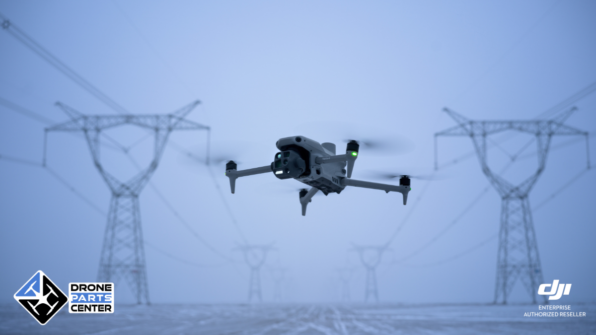
For missions requiring the most advanced visual zoom capabilities coupled with thermal imaging, the Matrice 350 RTK equipped with the Zenmuse H20T gimbal is the benchmark. The H20T shares the same 640×512 thermal camera as the M30T but pairs it with a 20MP 23x optical zoom camera (max 200x zoom) and a 12MP wide-angle camera, as well as a laser rangefinder. This combination is ideal for detailed remote inspections of critical infrastructure (power lines, wind turbines, etc.). The M350 RTK also offers increased component redundancy, higher payload capacity for third-party PSDK payloads, and built-in RTK compatibility for precise positioning.
Finally, the Zenmuse H20N gimbal lift, also for the M350 RTK, is a unique solution optimized for night operations. It combines two thermal cameras (wide-angle and telephoto, 640×512 each) with two very high-sensitivity “starlight” visual sensors (2MP wide-angle and 4MP zoom). These starlight sensors excel in very low light, providing unmatched visibility at night, although their resolution is lower than that of the H20T in daylight. The H20N also incorporates a laser rangefinder. It is the preferred tool for night surveillance, searching for people and public safety missions after sunset.
The choice of thermal solution will depend heavily on operational constraints: the M3T for portability and basic needs; the M30T for versatility, ruggedness, and advanced features; the M350 RTK+H20T for detailed remote visual inspection coupled with thermal; and the M350 RTK+ H20N for optimal nighttime performance. These thermal drones are revolutionizing industrial inspections, predictive maintenance and security interventions, providing data invisible to the naked eye, day and night.
Choosing Your Tool: Key Factors and Differentiation of DJI Enterprise Platforms
Navigating the full range of DJI Enterprise drones can seem complex, but understanding the key differentiators between platforms and payloads helps select the optimal tool for each mission. The Mavic 3 Enterprise, Matrice 30, and Matrice 350 RTK series, while sharing DJI’s commitment to performance and reliability, feature distinct design philosophies and capabilities.
The fundamental distinction often lies between the portability and integration of the Mavic/Matrice 30 series, and the modularity and raw power of the Matrice 350 RTK platform. The Mavic 3 Enterprise (M3E and M3T) and the Matrice 30/30T stand out for their compactness and speed of deployment. They are “all-in-one” systems where sensors are integrated, ideal for teams requiring a solution that is easy to transport and implement quickly in the field. The M30T, in particular, offers an excellent compromise with high-performance sensors (thermal, zoom, wide-angle, LRF) and increased robustness (IP55) in a foldable format.
In contrast, the Matrice 350 RTK is designed as a modular, high-performance aerial platform. Its main asset is its ability to carry a variety of interchangeable payloads (Zenmuse P1, L2, H20T, H20N, third-party sensors via PSDK). This flexibility allows organizations to invest in a single platform and adapt it to different types of missions (mapping, LiDAR, inspection, surveillance) simply by changing the gimbal. The M350 RTK also offers superior flight performance (wind resistance, heavy load time), increased redundancy of critical components (IMUs, barometers, RTK antennas) for enhanced safety, and higher payload capacity.
Several technical characteristics are also decisive in the choice:
- RTK/PPK accuracy: Essential for photogrammetry and precision mapping, this feature is available on the M3E (via module), the M350 RTK (integrated) and its P1/L1 payloads. It eliminates or drastically reduces the need for ground control points.
- Laser Rangefinder (LRF): Found on the M30T, H20T and H20N, LRF enables precise distance measurements, pinpoint exact positioning, and enhanced intelligent tracking and zoom focusing capabilities.
- Ingress Protection (IP): The M30/M30T (IP55) and M350 RTK (IP54) offer significant dust and water resistance, allowing operations in harsher weather conditions than the M3E/M3T (not IP rated).
- Zoom capabilities: For remote inspection, the power of the zoom is crucial. The H20T and M30T offer very high hybrid zoom capabilities (up to 200x), surpassing those of the M3T (56x).
- Night Vision: The H20N gimbal is specifically designed for this, with its starlight sensors and dual thermal cameras, offering unmatched performance in low light.
DJI’s software ecosystem, centered around the DJI Pilot 2 flight app and the FlightHub 2 fleet management platform, also plays a unifying role, providing a consistent interface and advanced mission planning, data management, and live streaming capabilities across the Enterprise lineup.
In short, the choice revolves around portability and integration (Mavic 3E/T, M30/T) versus modularity and cutting-edge performance (M350 RTK + Zenmuse). The detailed analysis of the specific needs of the mission (type of data, required accuracy, environmental conditions, need for zoom or night vision) will guide the user to the most suitable DJI Enterprise solution to maximize the efficiency and profitability of their operations.
Conclusion: DJI Enterprise, Indispensable Technology Partner for Professionals
Ultimately, the DJI Enterprise range is a must-have in the demanding professional drone market. Whether it’s through the compactness and efficiency of the Mavic 3 Enterprise for fast photogrammetry, the robust versatility of the Matrice 30T for inspection and security, or the modular power of the Matrice 350 RTK with its specialized payloads like the Zenmuse P1, L2, H20T, and H20N, DJI offers a suitable solution for a multitude of mission-critical applications.
The focus on accuracy (RTK/PPK), sensor quality (visual and thermal), operational reliability (IP rating, redundancy), and software integration (Pilot 2, FlightHub 2) is a testament to DJI’s commitment to providing tools that not only meet, but anticipate the needs of professionals. These advanced drone solutions enable businesses and organizations to collect richer, faster, and more secure data, transforming their workflows and improving their decision-making.
Choosing a DJI Enterprise drone means investing in proven technology that pushes the boundaries of efficiency and performance in industries as diverse as surveying, infrastructure inspection, precision agriculture, and public safety. To explore in more detail how these drone solutions can optimize your specific operations, we invite you to contact us here: Contact page. The future of professional flight operations is taking shape today, and DJI Enterprise is a major player.