DJI Mavic 3 Multispectral (Universal Edition)
€ 4.469,00
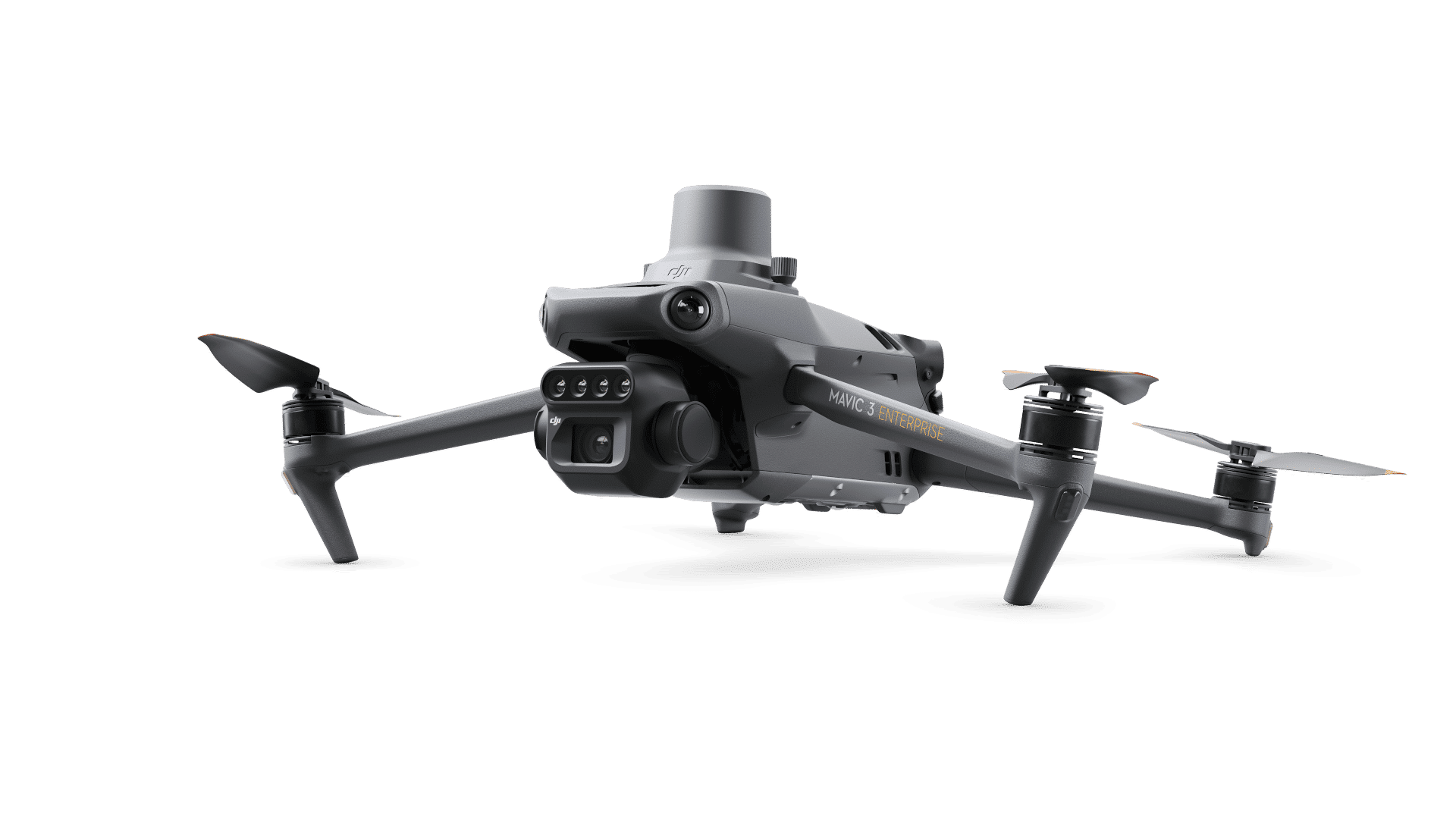
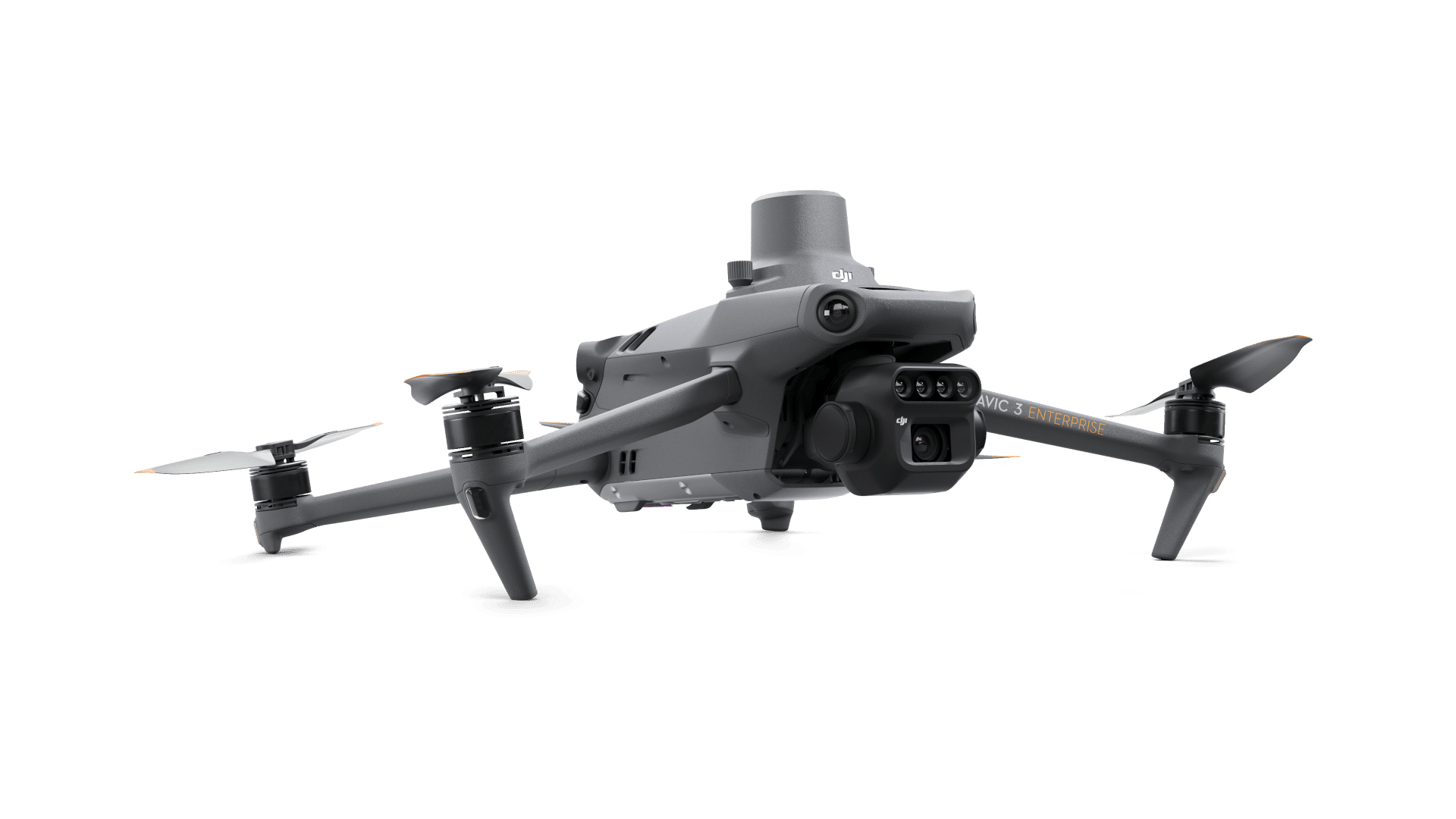
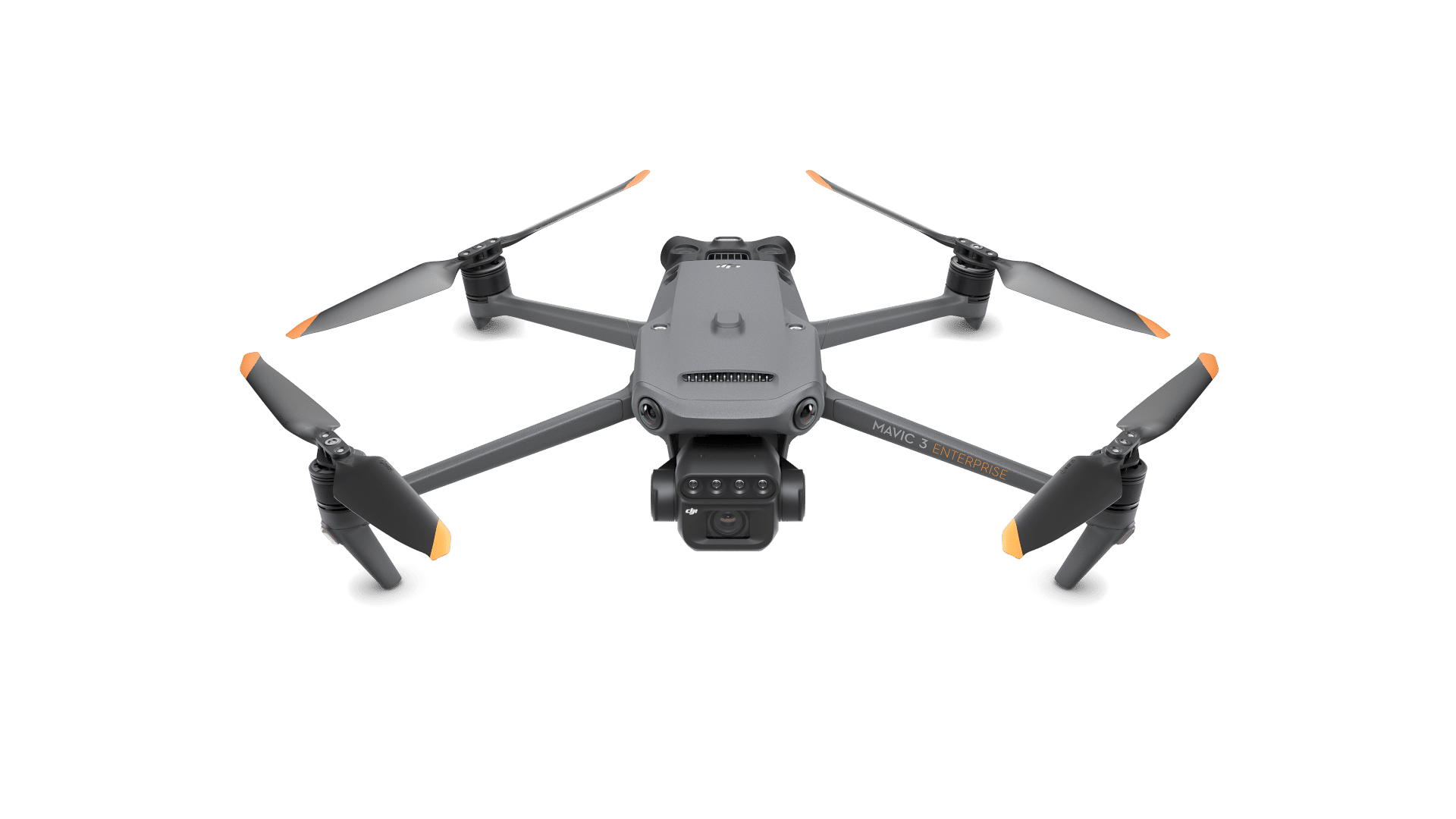
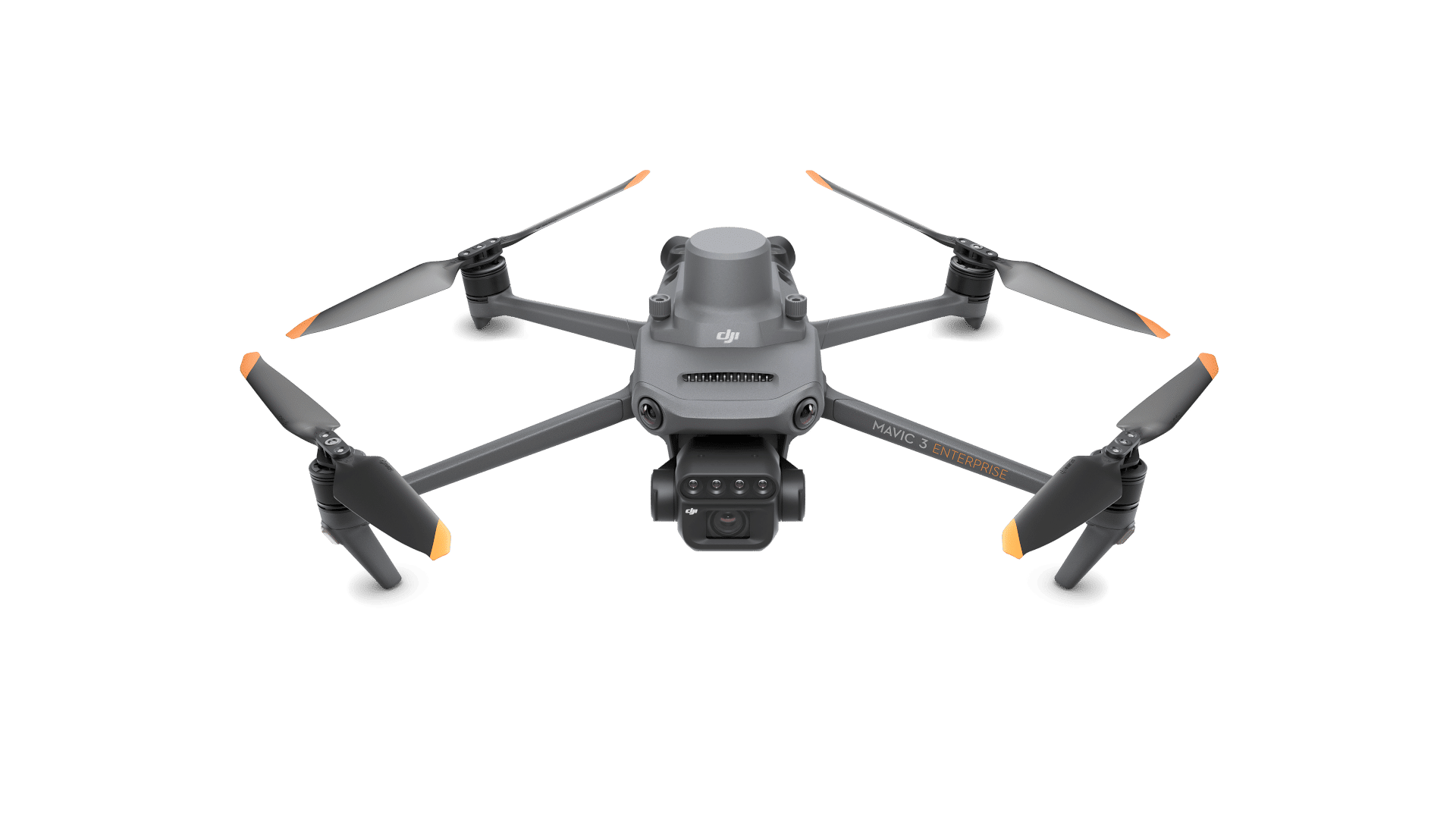
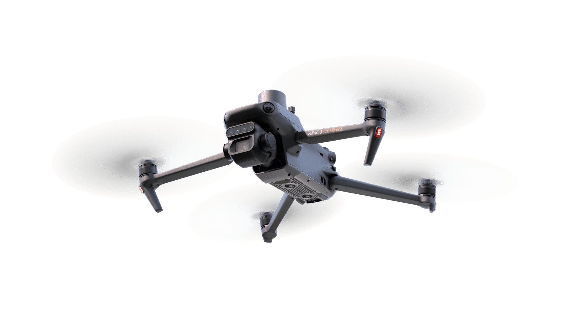
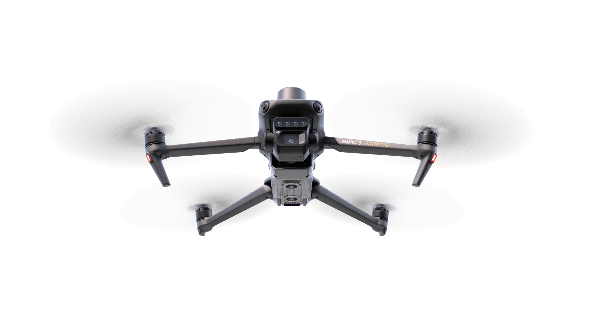
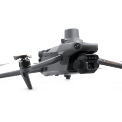
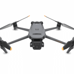
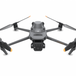
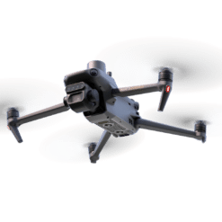
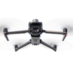
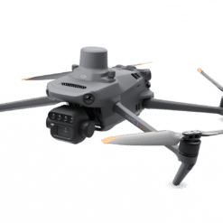
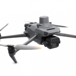
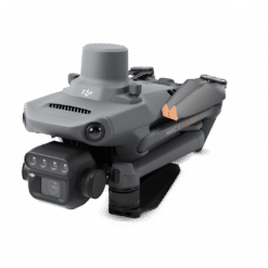
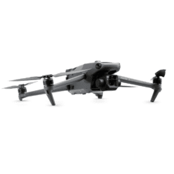
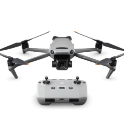
The DJI Mavic 3 Multispectral (Universal Edition) is a drone equipped with a multispectral sensor for precision agriculture. It offers high image resolution and accuracy for crop mapping and analysis.
Available to order (Please contact us)
DJI Mavic 3 Multispectral (Universal Edition)
23634
RGB and multispectral imaging system
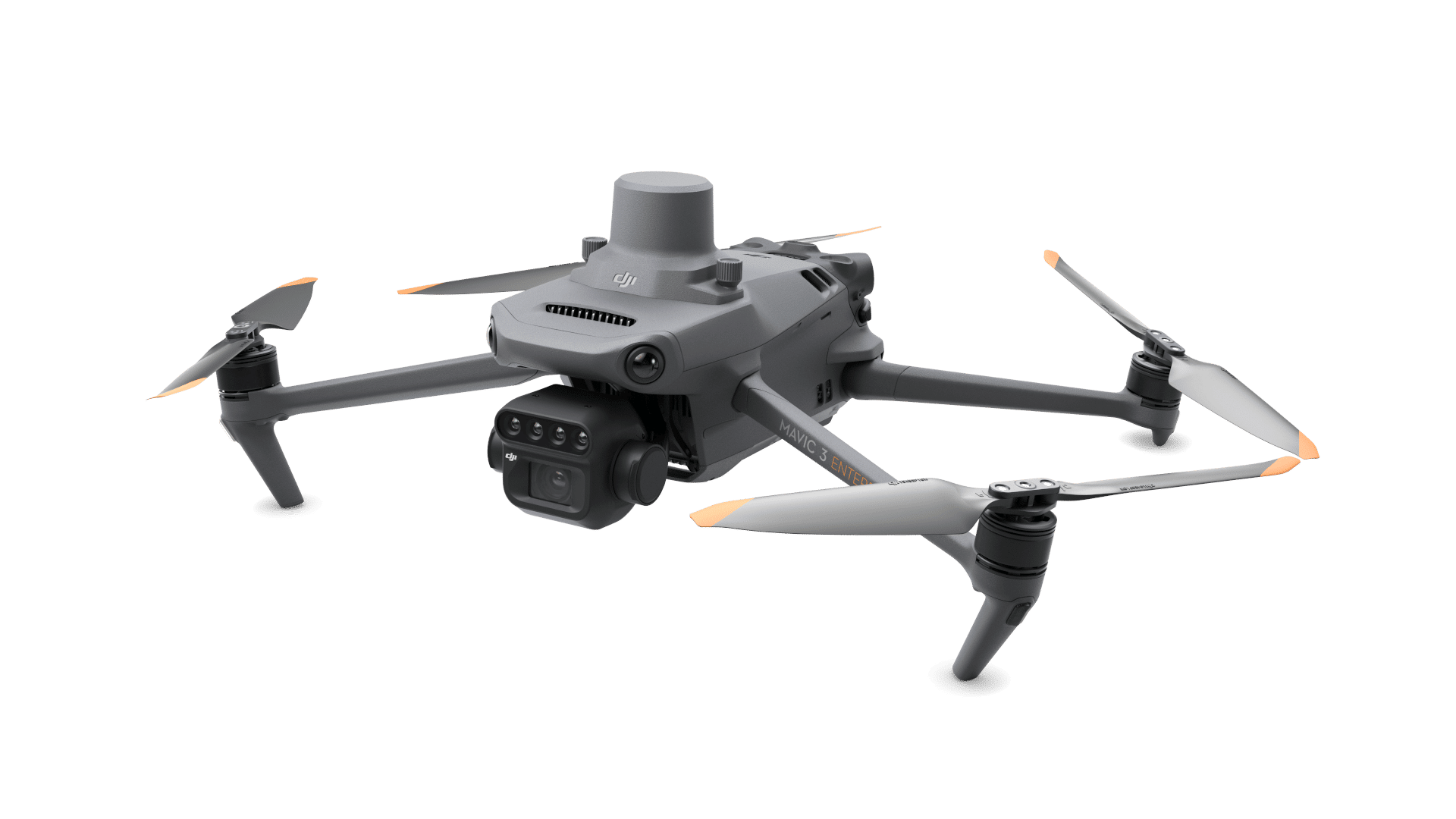
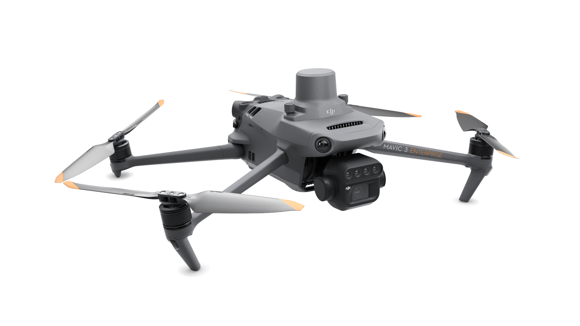
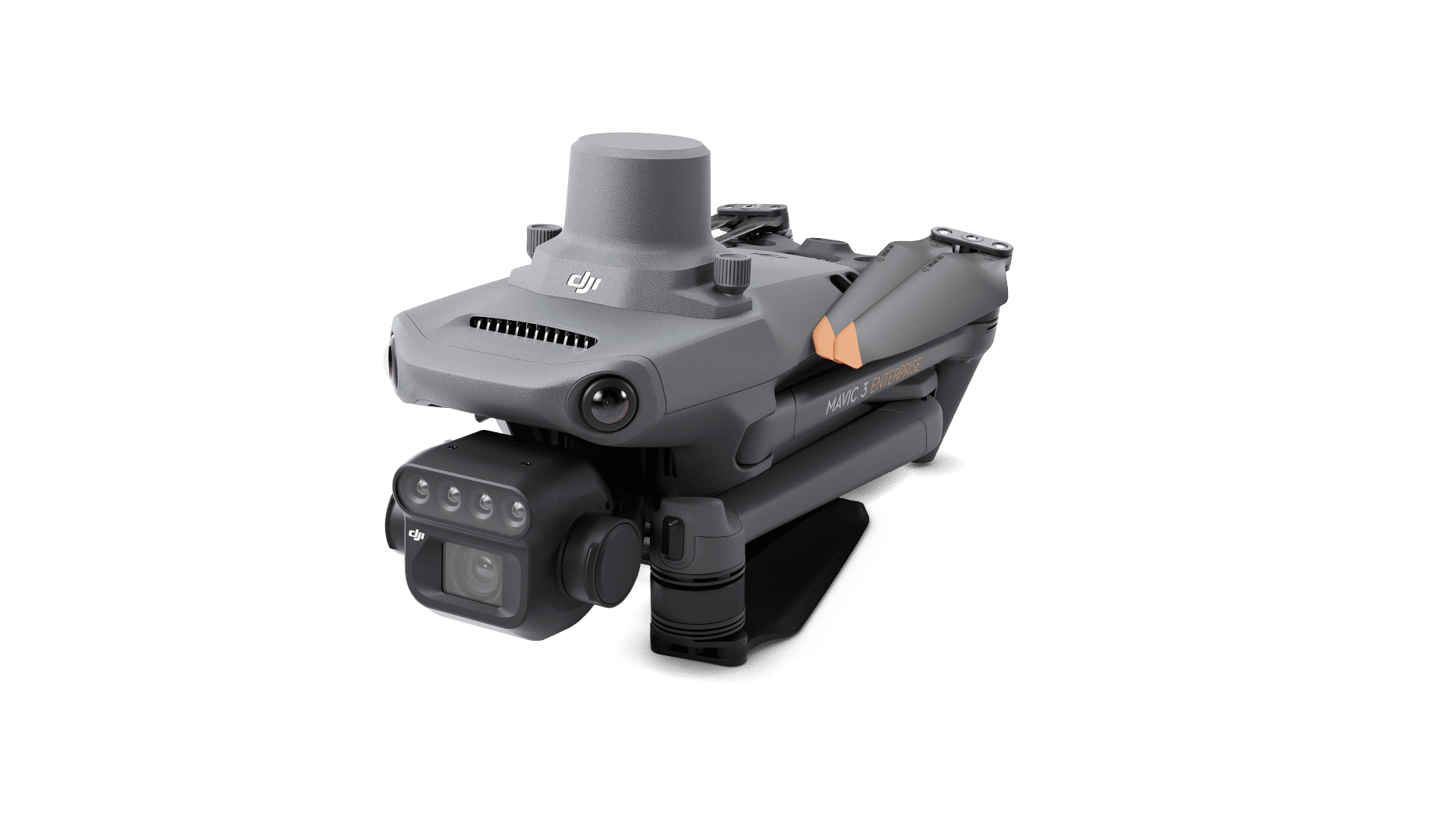
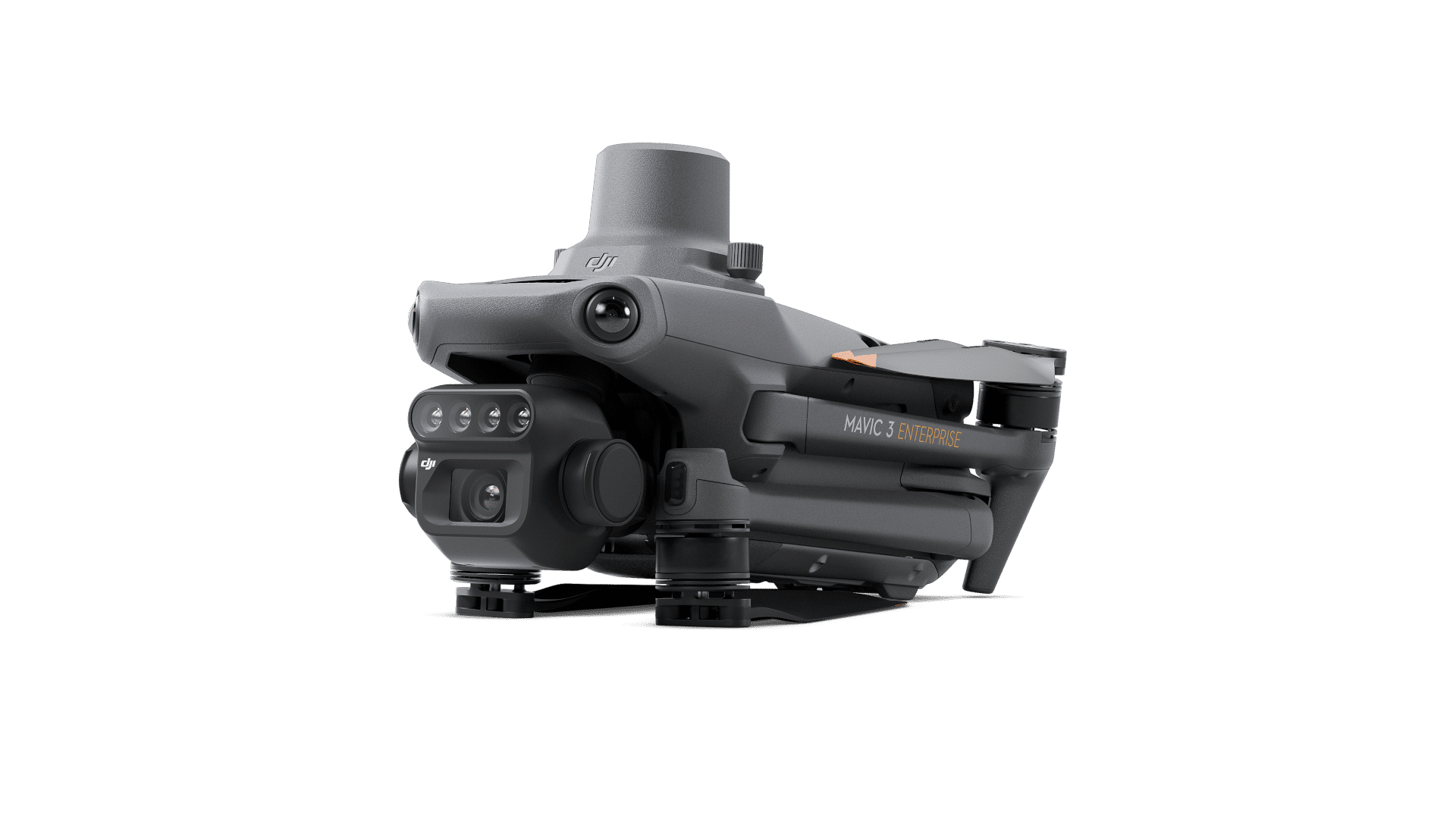
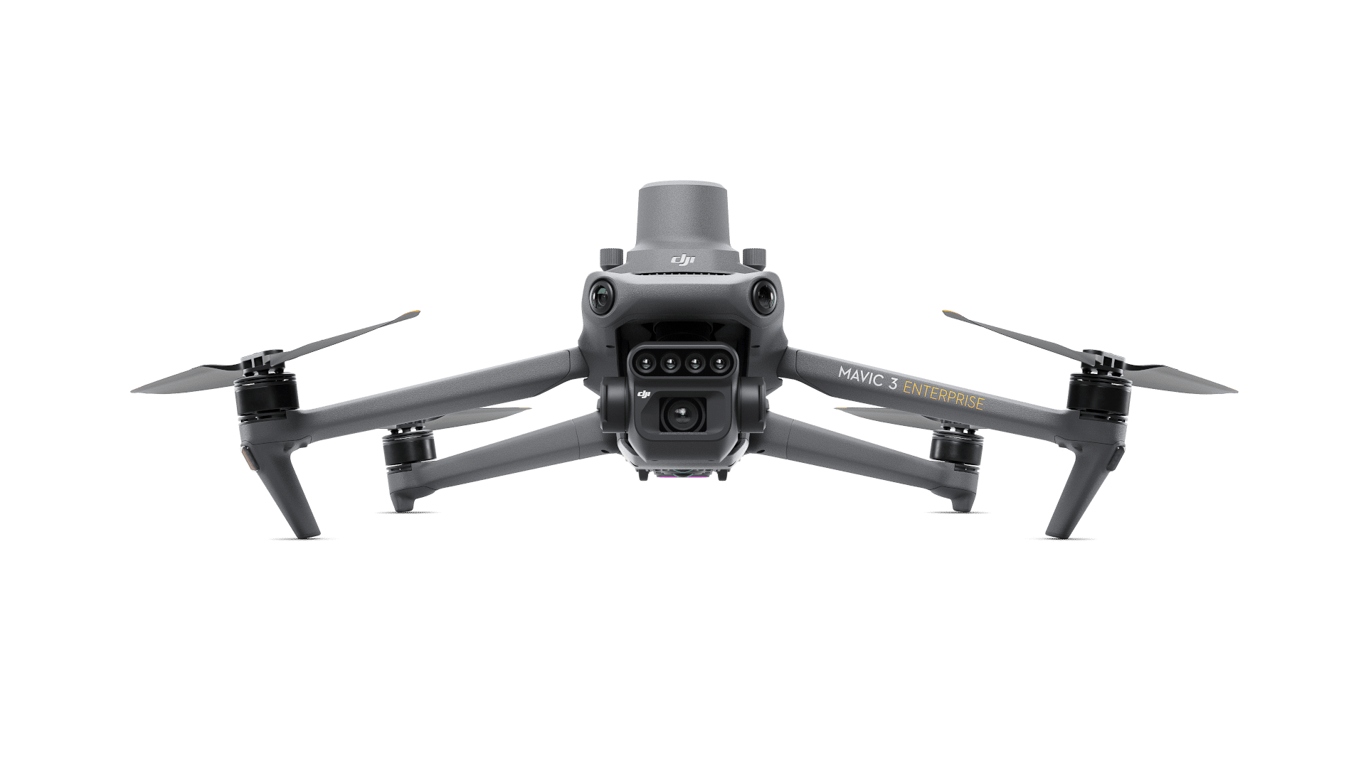
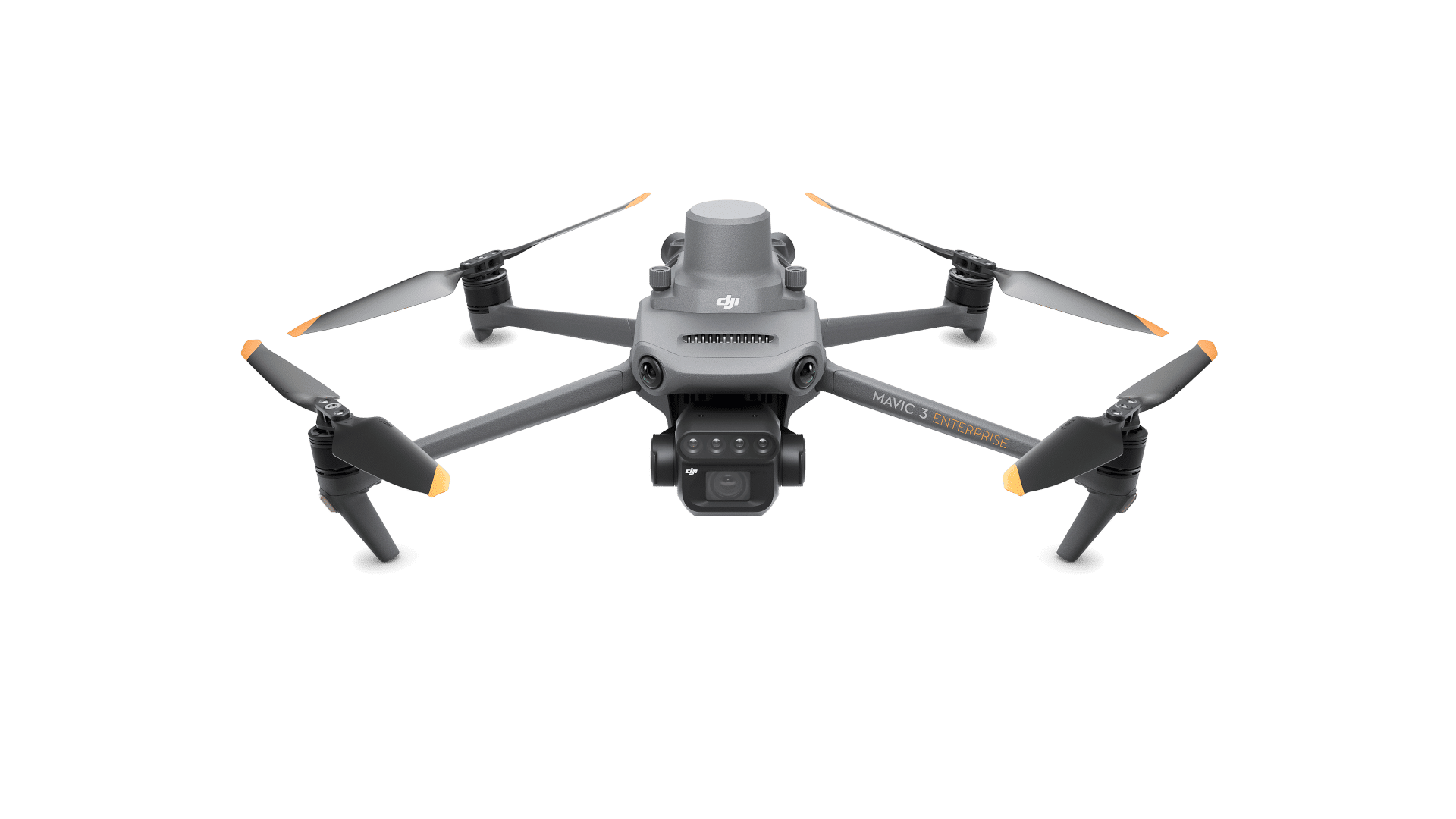
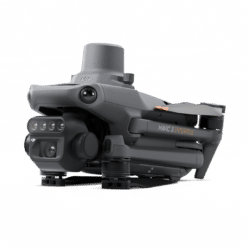
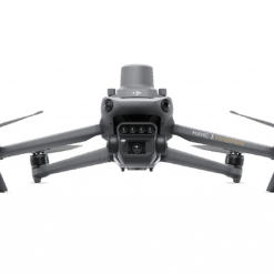
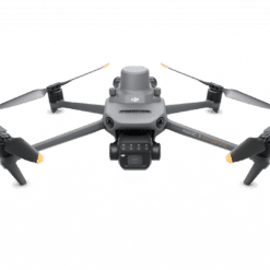
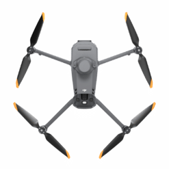
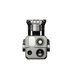
Mavic 3 Multispectral - also known as Mavic 3M - uses a two-in-one camera system to view and collect a wide range of information that users can turn into results in the field.
An RGB camera is equipped with a 4/3-inch, 20MP CMOS image sensor and a mechanical shutter with a maximum speed of 1/2000. It handles high-speed continuous shooting at the fastest interval of 0.7 seconds and can quickly collect image information, greatly improving the efficiency of field operations.
In addition to the RGB camera, a four-lens multispectral camera provides more accurate directional information, helping users better understand crop conditions by detecting details that the human eye cannot. Each of the four multispectral cameras can capture 5 million pixels and search the following wavelengths:
- Green (G): 560nm ± 16nm
- Red (R): 650 nm ± 20 nm
- Red edge (RE): 730 nm ± 20 nm
- Near infrared (NIR) 860 nm ± 26 nm
By combining these two cameras, Mavic 3M performs applications such as high-precision aerial surveys, crop growth monitoring and natural resource surveys.
RTK centimetric positioning
Mavic 3M includes an RTK module that allows for centimeter-level positioning. The UAV, its camera and the RTK module are synchronized at the microsecond level to accurately obtain positional information from the imaging center of each camera. This allows the Mavic 3M to perform high-precision aerial surveys without the use of ground control points. And with a battery life of up to 43 minutes, Mavic 3M can survey and map an area as large as 2 square kilometers in a single flight.
Designed for safer operation
Mavic 3M is equipped with O3 video transmission, which integrates two signal transmission channels and four signal reception channels, and supports an ultra-long transmission distance of 15 kilometers. For added safety, Mavic 3M is equipped with omnidirectional obstacle detection to detect obstacles in all directions and help avoid them with precision.
Unlimited possibilities
Helping professional users and partners in different fields, Mavic 3M can be integrated into various ecosystems to provide unlimited possibilities for smart agriculture. With the built-in DJI Cloud API, based on the MQTT protocol in Pilot 2, users can directly connect Mavic 3M to a third-party cloud platform to collect information, live video, photo data and other information, all without the need to develop a separate application. Mavic 3M also supports Mobile SDK 5 (MSDK5), allowing users to easily develop proprietary control applications for scenarios such as smart surveillance.
A new tool for precision agriculture
Mavic 3M is useful in a multitude of work scenarios. It can perform aerial ground surveys of mountain forests and orchards. The DJI SmartFarm platform generates an NDVI vegetation index to provide data for more efficient, localized crop treatment. Automatic field tracking can detect crop anomalies and perform intelligent analysis that allows one person to manage 70 hectares of land.
Content
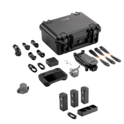
- 1 x DJI Mavic 3M Multispectral Drone
- 1 x DJI Care 1 year
- 1 x RTK module
- 1 x Battery for DJI Mavic 3
- 1 x Basket protection
- 3 x Pair of propellers
- 1 x 64 GB microSD card
- 1 x DJI RC Pro Enterprise
- 1 x USB Type-C to USB-C cable
- 1 x Screwdriver
- 1 x 100W charger
- 1 x AC adapter
- 1 x USB to USB-C cable
- 1 x Protective case
- 1 x DJI Terra 3 months
- 1 x DJI Smartfarm 6 months
2 reviews for DJI Mavic 3 Multispectral (Universal Edition)
Only logged-in customers who have purchased this product can leave a review.
Similar products
DJI Mavic Pro
Out of stock
Building and infrastructure inspection
Available to order (Please contact us)
1 in stock
EVO Max Altar
Available to order (Please contact us)
Puskas Lajos (Confirmed customer) –
Deon van der Merwe (Confirmed customer) –
The flight performance is as expected from a DJI Mavic 3 Enterprise product - ie excellent flight duration and precision. I did not encounter any problems during setup. The more interesting part of this drone is the multispectral sensor. After completion of a few vegetation mapping missions, I am happy with the sensor. It performs similarly to other popular multispectral sensors on the market, with good radiometric characteristics, but note that it does not have a blue band. I tested it in low light (under cloud cover) and in full sun. The exposure calibration from the incident light sensor appears to work well. The multispectral sensor is fully integrated into the flight control software, along with the visible light camera. It is possible to swap between a vegetation index and visible light image in real time during flight, which may be useful during inspections. It captures multispectral and visible light images at the same time during mapping missions, which can reduce time spent in the field if both image types are needed. Data processing in Agisoft Metashape was completed without any issues. The purchase includes 3 months of access to DJI Terra, if you need it for processing. Overall, it is an excellent product that produces good results in projects where the provided multispectral bands are useful. Highly recommended!